
Between the Levee and the Stream: Heritage Hydrology and Hard Infrastructure in Middlesex Borough
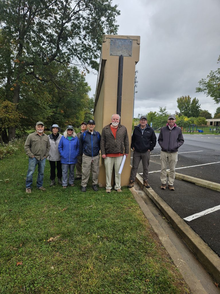
On Sunday, October 4, 2026, the Lower Raritan Watershed Partnership (LRWP), the Middlesex Borough Environmental Commission and members of the public gathered for a guided walk touring the newly constructed U.S. Army Corps of Engineers (USACE) flood control infrastructure in Middlesex Borough, NJ.
With thanks for grant support from the Arts Institute of Middlesex County (AIMC) and the Board of County Commissioners, this event is one of five paired “talks & walks” examining the heritage hydrology of five diverse central New Jersey communities in the Lower Raritan Watershed (see the LRWP events page for information about our remaining #hiddenstreams talks & walks in Edison Township and the Borough of Highland Park).
Standing near the newly installed flood gates and massive concrete flood walls, participants examined the intersection of legacy infrastructure, historical stream pathways, and modern stormwater engineering.
The outing provided an opportunity to contrast the borough’s heritage hydrology, how water historically flowed through local streams, wetlands, and natural floodplains, with the present-day realities of altered stream channels, localized flooding, and large-scale structural intervention.
The new flood gates and flood walls in Middlesex Borough represent key segments of the broader Green Brook Flood Risk Management Project. Managed by the USACE New York District in partnership with the New Jersey Department of Environmental Protection (NJDEP), this multi-decade, basin-wide effort covers a 150-square-mile drainage area spanning Somerset, Middlesex, and Union counties. Local oversight and advocacy are spearheaded by the Green Brook Flood Control Commission (GBFCC).
Historic Flooding Context in the Lower Raritan
The Green Brook basin has a long, documented history of devastating floods. The confluence of the Green Brook and the Bound Brook and the Raritan River forms a hydraulic bottleneck during extreme rain events. Notable severe flood events include:
- August 1971 (Tropical Storm Doria): Caused widespread inundation, prompting initial severe calls for regional basin-wide flood mitigation.
- September 1999 (Hurricane Floyd): Standardized the benchmark for modern flood danger in the basin, submerging downtown business districts and residential neighborhoods under several feet of floodwater.
- April 2007 (Nor’easter) & August 2011 (Hurricane Irene): Re-emphasized the area’s ongoing vulnerability, breaching non-protected bank sections and delaying local economic recovery.
- September 2021 (Tropical Storm Ida): Flash flooding rapidly overwhelmed stormwater networks and historical tributary pathways, underlining the increasing frequency of high-intensity precipitation events.
A Watershed Perspective: Habitat Connectivity & Stream Health

Constructing miles of reinforced concrete floodwalls and levees required clear-cutting thousands of mature trees along the riparian corridor. In 2024 the Middlesex Borough Environmental Commission initiated a mini “tree farm” and free tree giveaway program to support Borough residents in replacing trees on their own property.
From a watershed health standpoint, this loss carries immediate and long-term consequences. While concrete flood walls, levees, and closing gates offer protection for human structures, viewing these interventions through a watershed lens reveals significant ecological trade-offs:
- Stream Health & Hydrologic Channelization: Hard infrastructure constrains streams to fixed paths, accelerating water velocity during high-flow events and preventing streams from dissipating energy naturally across floodplains.
- Habitat Connectivity: Flood walls act as physical barriers for terrestrial and amphibious wildlife, cutting off riparian corridors necessary for foraging and breeding. Furthermore, culverts and gates can alter aquatic passage for migratory fish species.
- Downstream Flooding Dynamics: Holding water back or channeling it more rapidly through one stretch of a stream can shift water volume downstream faster. Unless carefully balanced by upstream wetland retention (such as regional wetland mitigation projects), structural flood walls risk transferring peak volume challenges to downstream communities along the Raritan.
Non-Structural Floodplain Management
The New Jersey Department of Environmental Protection’s Blue Acres Program offers a non-structural alternative to flood walls by purchasing flood-prone homes from willing sellers at fair market value. The acquired land is demolished and permanently preserved as open space, restoring the natural floodplain sponge and permanently removing residents from harm’s way.
For properties that remain within flood zones, FEMA released the fourth edition of its technical guidance, Retrofitting Flood-Prone Residential Structures (FEMA P-259), in July 2026, replacing the prior 2012 edition. This updated manual provides engineers, architects, and homeowners with modernized standards for elevating foundations, dry/wet floodproofing, elevating utilities, and installing flood vents to protect homes while complementing regional flood defense infrastructure.
