StoryMaps!
The LRWP enjoys working with Esri’s StoryMaps software. This tool allows users to combine maps with narrative text, images, and multimedia content, and to better integrate maps and geography into our story telling about the watershed. StoryMaps are incorporated in our community work in many ways. We use them with grade schoolers to figure out how trash ends up in our streams, with watershed residents to identify areas in need of restoration, and we use them to highlight areas of concern for water quality monitoring. Check out some of the great StoryMaps below!
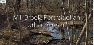
As part of a Rutgers Environmental Steward internship, LRWP Streamkeeper Susan Edmunds developed this lovely StoryMap photo tour and paean to her local waterway. Mill Brook: Portrait of an Urban Stream tells the story Mill Brook, a tributary of the Raritan running through Edison and Highland Park.
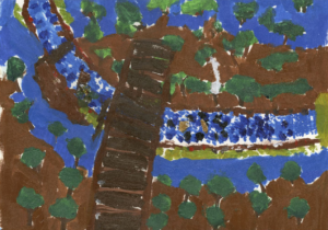 A Tale of Two River Artifacts was developed by Greater Brunswick Charter School Students Aaliyah and Clover during our spring Project WADES residency (supported through a grant from Johnson & Johnson). With special thanks to Sonia Szczesna. Art by Aaliyah, 5th grade
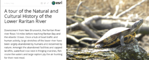 This Tour of the Natural and Cultural History of the Lower Raritan River was developed by Rutgers Advanced Environmental Geomatics students under the guidance of Professor Rick Lathrop. It provides a detailed cultural and historical overview of 20 sites along the Raritan River.
