The LRWP is pleased to share our 2025 Annual Report!

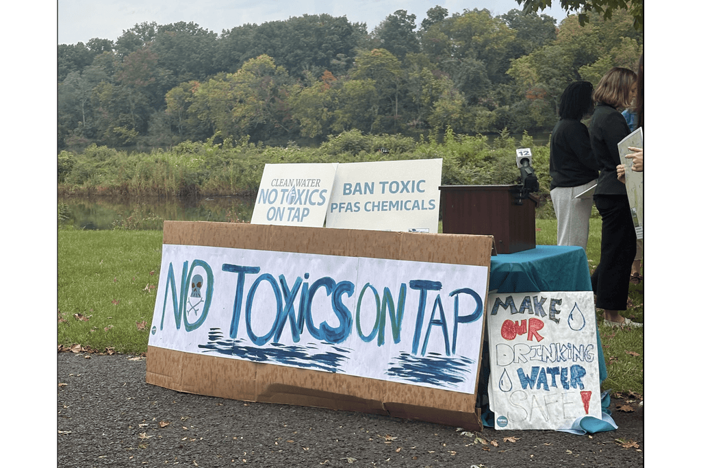
PFAS (per- and polyfluoroalkyl substances) are synthetic chemicals used since the 1940s in nonstick cookware, stain- and water-resistant fabrics, food packaging, cosmetics and firefighting foam. They’re called “forever chemicals” because they barely break down. Released from factories, sewage plants, landfills, sludge-fertilized fields and firefighting sites, they build up in our rivers, sediments, fish and bodies. Long-term exposure to some PFAS is linked to certain cancers, immune suppression and reproductive and developmental harm.
Environment New Jersey and NJPIRG’s new report, Forever Chemicals in America’s Rivers and Lakes, found PFAS at 83% of more than 1,600 surface-water sites tested nationwide from 2022 to 2024, and at 91% of the 86 sites tested in New Jersey, including every Raritan watershed location in the data. Yet none of those sites is in the Lower Raritan, and New Jersey still has no surface water quality standards for PFAS. That matters because these rivers supply our drinking water and are where our neighbors fish, paddle and play.
That’s why LRWP joined Environment New Jersey and NJPIRG on the banks of the Raritan on October 14, 2026 to bring attention to the release of the Forever Chemicals Report. LRWP Executive Director Heather Fenyk’s remarks follow:
The LRWP is pleased to support this work to bring attention to the widespread nature of PFAS and the need for state action to reduce PFAS in both surface and groundwater.
Good afternoon, and welcome to the banks of the Raritan River! I’m Heather Fenyk, Executive Director of the Lower Raritan Watershed Partnership.
We’re standing in the Lower Raritan Watershed. This is the downstream, most urban and most tidal part of the Raritan Basin, where the river meets the tide and flows on to Perth Amboy and Raritan Bay.
This is a special river, and a hard-working one. Generations of industry along this tidal reach left a legacy we still live with. Mercury, PCBs, arsenic, chromium, lead and copper remain in our sediments and our fish. That’s why people who fish here still have to think twice about what they bring home, and why recovery takes decades.
And the next legacy pollutant is already in the water. PFAS, the forever chemicals, don’t break down. New Jersey was a national leader on PFAS in drinking water. But we still have no surface water quality standards for PFAS in the rivers that feed our taps and that people fish and paddle in. More broadly, our surface water standards for toxic pollutants need to catch up with the science.
So I want to thank Environment New Jersey and the NJPIRG students for this report, Forever Chemicals in America’s Rivers and Lakes. They found PFAS at 83 percent of the more than 1,600 waterways tested nationwide from 2022 to 2024, with 114 different PFAS compounds detected. They’ve made an invisible problem visible.
Here’s what struck me most. Of those 1,600 sites, not one is in the Lower Raritan watershed. Not the river behind me, not the South River, not Lawrence Brook. No data is not clean water. It’s a blind spot.
At LRWP, we believe you can’t fix what you don’t measure. Since 2019, our volunteers and partners have tested this river for bacteria every week at six sites along the tidal Raritan. We work under an EPA-approved quality assurance plan, and we post the results publicly.
That data anchors our new strategy to speed up cleanup plans, called TMDLs, for the Lower Raritan. Those plans set pollution budgets, and today the tidal Raritan from New Brunswick to Perth Amboy has almost none. We want to expand what we measure, including toxic contaminants like PFAS, and we’re launching a technical advisory committee to help do it.
But volunteers can’t set standards. That’s the State’s job.
So today I’m calling on Governor Sherrill’s office to move forward NJDEP’s proposed amendments to the Surface Water Quality Standards, setting criteria for PFAS and 94 other toxic contaminants. Standards are what make a pollutant count. They’re how a waterway gets listed as impaired, how permits set limits, and how cleanup plans get written. Standards are where cleanup begins.
And to members of the Senate Budget and Appropriations Committee: please advance S4468 and fund the monitoring, in our rivers and our private wells, that tells us where these chemicals are.
The Raritan has come back before, and it can again. Let’s not hand the next generation a new legacy pollutant. Thank you!
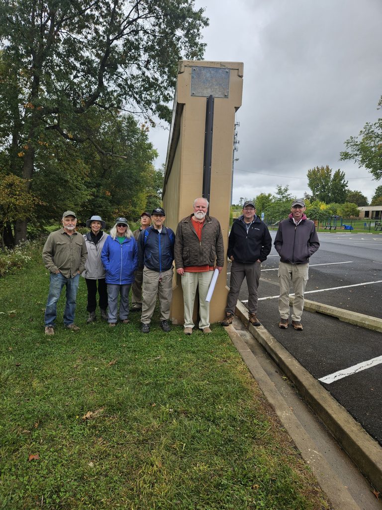
On Sunday, October 4, 2026, the Lower Raritan Watershed Partnership (LRWP), the Middlesex Borough Environmental Commission and members of the public gathered for a guided walk touring the newly constructed U.S. Army Corps of Engineers (USACE) flood control infrastructure in Middlesex Borough, NJ.
With thanks for grant support from the Arts Institute of Middlesex County (AIMC) and the Board of County Commissioners, this event is one of five paired “talks & walks” examining the heritage hydrology of five diverse central New Jersey communities in the Lower Raritan Watershed (see the LRWP events page for information about our remaining #hiddenstreams talks & walks in Edison Township and the Borough of Highland Park).
Standing near the newly installed flood gates and massive concrete flood walls, participants examined the intersection of legacy infrastructure, historical stream pathways, and modern stormwater engineering.
The outing provided an opportunity to contrast the borough’s heritage hydrology, how water historically flowed through local streams, wetlands, and natural floodplains, with the present-day realities of altered stream channels, localized flooding, and large-scale structural intervention.
The new flood gates and flood walls in Middlesex Borough represent key segments of the broader Green Brook Flood Risk Management Project. Managed by the USACE New York District in partnership with the New Jersey Department of Environmental Protection (NJDEP), this multi-decade, basin-wide effort covers a 150-square-mile drainage area spanning Somerset, Middlesex, and Union counties. Local oversight and advocacy are spearheaded by the Green Brook Flood Control Commission (GBFCC).
Historic Flooding Context in the Lower Raritan
The Green Brook basin has a long, documented history of devastating floods. The confluence of the Green Brook and the Bound Brook and the Raritan River forms a hydraulic bottleneck during extreme rain events. Notable severe flood events include:
A Watershed Perspective: Habitat Connectivity & Stream Health
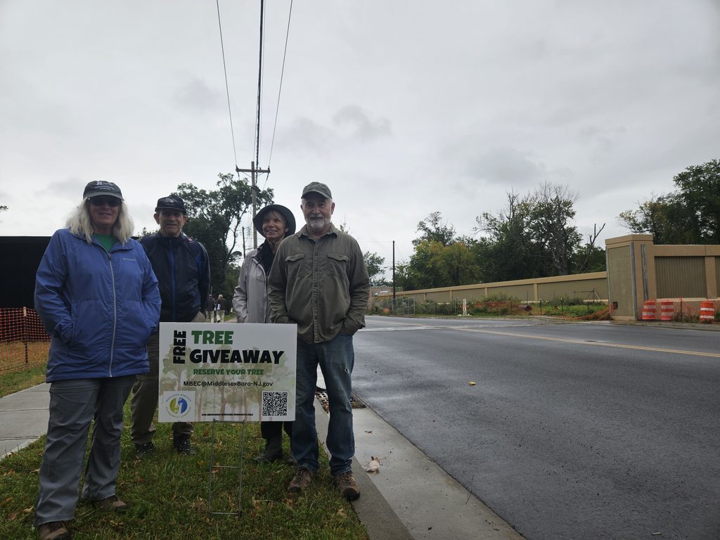
Constructing miles of reinforced concrete floodwalls and levees required clear-cutting thousands of mature trees along the riparian corridor. In 2024 the Middlesex Borough Environmental Commission initiated a mini “tree farm” and free tree giveaway program to support Borough residents in replacing trees on their own property.
From a watershed health standpoint, this loss carries immediate and long-term consequences. While concrete flood walls, levees, and closing gates offer protection for human structures, viewing these interventions through a watershed lens reveals significant ecological trade-offs:
Non-Structural Floodplain Management
The New Jersey Department of Environmental Protection’s Blue Acres Program offers a non-structural alternative to flood walls by purchasing flood-prone homes from willing sellers at fair market value. The acquired land is demolished and permanently preserved as open space, restoring the natural floodplain sponge and permanently removing residents from harm’s way.
For properties that remain within flood zones, FEMA released the fourth edition of its technical guidance, Retrofitting Flood-Prone Residential Structures (FEMA P-259), in July 2026, replacing the prior 2012 edition. This updated manual provides engineers, architects, and homeowners with modernized standards for elevating foundations, dry/wet floodproofing, elevating utilities, and installing flood vents to protect homes while complementing regional flood defense infrastructure.
Essay and photos by Joe Mish unless otherwise noted
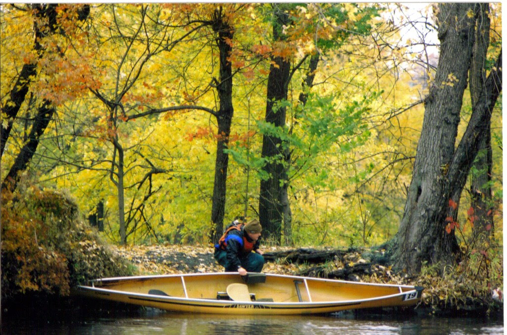
The trim yellow canoe quietly slipped through the standing leaf littered water with each stroke of the paddle. Eventually, the leaves would accumulate on the bow to create a gurgling sound and slow forward progress. A quick backstroke and turn of the bow cleared the leaves at the expense of energy exerted and time.
Autumn had arrived and the interchangeable term, fall, took on a practical meaning as the air was aflutter with falling leaves that carpeted the water’s surface.
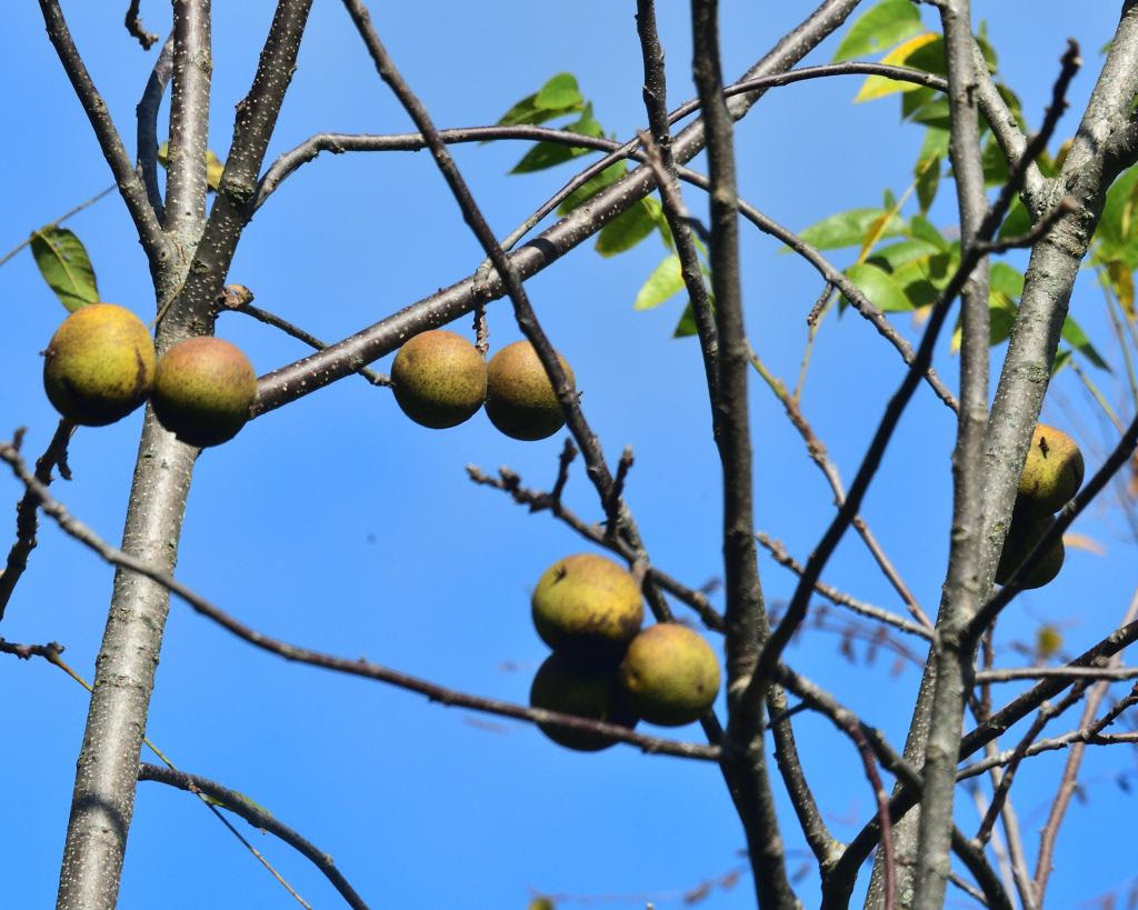
Leaves were not the only thing suddenly falling to earth. During an early morning paddle when all was silent and calm, a nearby, unexpected loud splash, sent shockwaves through my body. It sounded as if someone threw a rock in my direction with mal intent. In reality, it was a black walnut falling into the water. The large green billiard ball sized walnut enclosed husk is quite a formidable bludgeon, whose striking force is magnified when it hits the water.
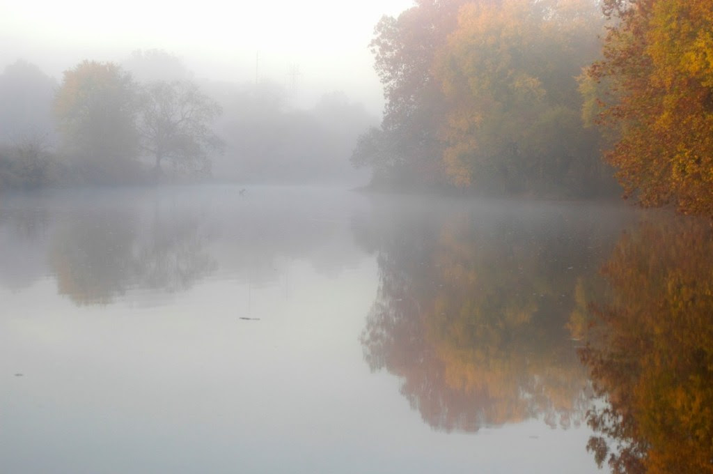
Peak autumn color is often enhanced by a pre-dawn gold infused mist covering the river when early October teases with the cold nights and warm sunny days. Drifting quietly downstream into the mist feels as if riding the current into the primordial past when the earth was just being formed. An alarmed great blue heron completes the experience as it reflects its paradactyl ancestry in size and form.
Some of the best fall scenery is along the rivers and canals where calm water mirrors the golden foliage and extends linearly to a vanishing point or disappears beyond a curve. This draws you deeper into the scene to a place where imagination, memories and time mingle with autumnal color. A place where the traveler will lose their way and wander aimlessly without the need to reach a destination.
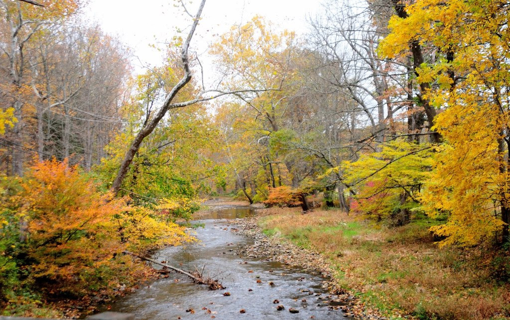
The rays of the midday sun are captured by the water arguing with the rocks and stones of the exposed riverbed and turned into bright sparkling diamonds; a perfect complement to the blaze of fall foliage which lines the river’s banks. The white faceted diamonds lay like a necklace against the sky-blue décolletage reflected in the smooth water above and downstream of the turbulence.
Sitting at the river’s edge watching fallen leaves float by, it is impossible to not imagine yourself aboard a curled yellow leaf traveling on the energy of the current and at the whim of an errant breeze. Through no effort of your own, you travel as an observer on a downriver cruise, unburdened by schedule or destination. It is as if you parted your conscious mind from reality, to set your imagination free. You look down to see the shadow of your leaf racing along the stony riverbed. Then spin around at the edge of an eddy and pass over a bed of long lime green grass swaying seductively in the current. Riding a smooth wave over a submerged rock, the sky appears for an instant. Pure white fluffy clouds parade against an azure, blue sky which disappears and reappears in the openings within the green and golden-brown foliage of a sycamore tree.
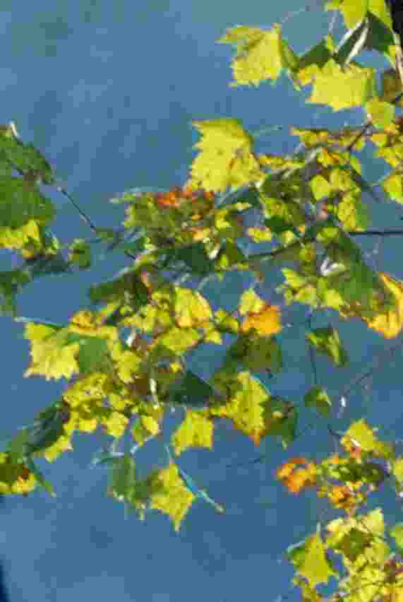
Each fallen leaf is a post-it-note created by autumn and distributed far and wide by the river’s current. Each colorful courier declares a friendly reminder of the inevitable change of seasons.
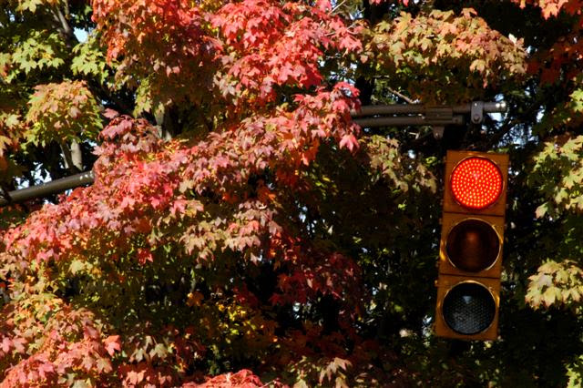
The autumn is truly a time of wonder, as daylight dims and shadows lengthen, while leaves magically turn brilliant colors. Like an emergency generator being triggered when the lights go out, the fall colors appear and flash a visual warning that winter’s icy emissary will arrive before the celestial clock officially declares winter’s arrival.

The seasons are tracked to the second by the predictable positions of the stars and planets. The stability of their celestial dance amid the chaos of the heavens is beyond comprehension, as the fall color is a reminder that our existence is at the mercy of the stars. A single scarlet leaf pasted to the sidewalk after a rain validates our heavenly origins.
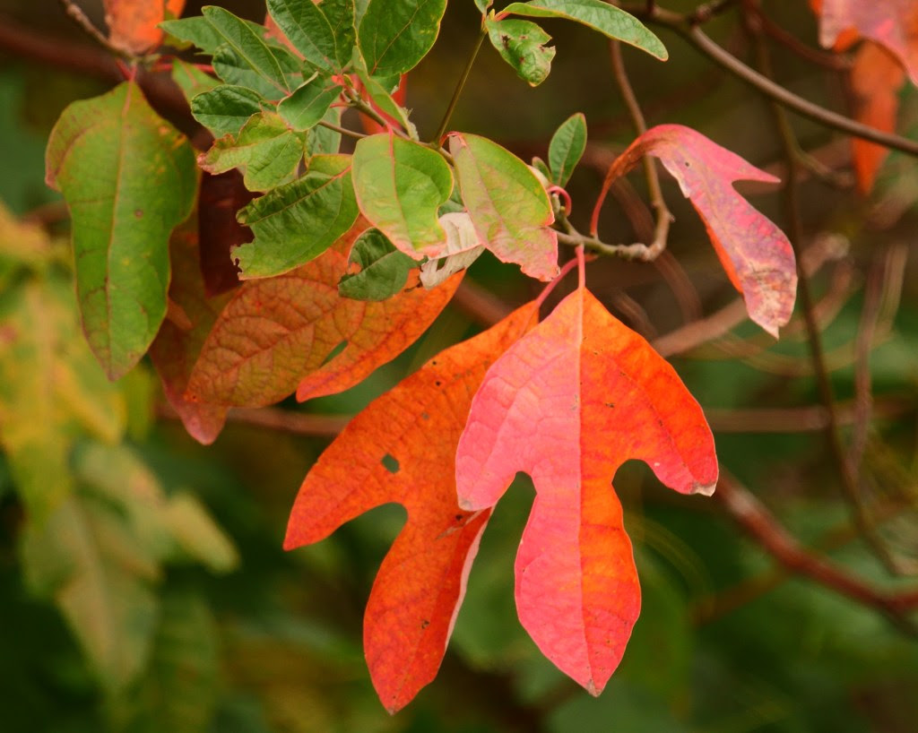
October is the last comfort station before the final trek through the darkest days, as we stumble along to find the light switch on the first day of winter. The energy of brilliant fall color restores the spirit when the lights go out and power us through to the birth of light in December, when the shrinking light begins to grow.
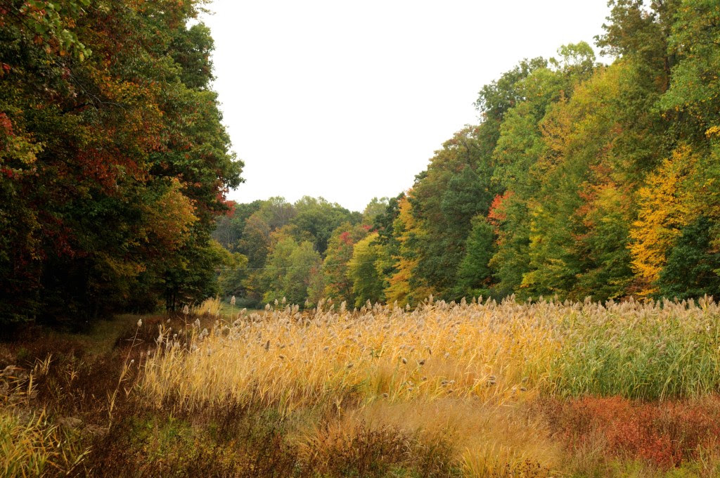
Joe Mish has always lived in sight of New Jersey’s Raritan River. His early years were spent roaming clay banks, streams, tidal creeks and swamps of the Lower Raritan near Crab Island. Now living upstream on the Raritan’s South Branch, he photographs New Jersey’s natural treasures hidden in plain view, sharing them in his column “Along the South Branch” in The Branchburg News, on his own blog page, and via the Lower Raritan River Partnership’s website. Many of his photos appear in Judy Auer Shaw’s The Raritan River: Our Landscape, Our Legacy. Joe also has images published in Northeast Sporting Journal, Maine Outdoors and History of Willowood. A graduate of Rutgers Cook College, Joe is a regular on Super Aging Today radio program as a nature photojournalist. Retired from Johnson and Johnson where he worked in Clinical Research and Pharmacology, Joe paddles local rivers throughout the year to see what surprises nature has to offer when no one else is looking.
Written by Olesya Nabokova, Rutgers Environmental Steward Program Participant
Thursday mornings begin early for the pathogen monitoring team. By 7:30 a.m., we are already at Riverside Park — the first of six sampling sites. These mornings are usually remarkably beautiful, filled with early sunlight, the quiet murmur of the river, crisp air, and the warm and inspiring atmosphere created by a group of enthusiastic people.

All of them come from very different backgrounds, including LRWP representatives, Rutgers students, and simply concerned and engaged members of the community, but we are all driven by a common purpose. And this blend of people is easily the most inspiring part of the experience.
I first learned about LRWP pathogens monitoring while enrolled in the Rutgers Environmental Steward (RES) program. As an ecologist, I wanted to understand the environmental characteristics of the region my family had just moved to, and find ways to contribute to addressing its environmental challenges. RES provides exactly that opportunity: it empowers volunteers with the knowledge and tools to tackle pressing environmental issues across New Jersey. Through expert-led training and hands-on learning, Stewards discover how to promote sustainable climate solutions and drive meaningful change, both in their personal lives and within their communities.
To graduate, every Steward completes a certification project addressing a specific environmental issue in their community. You can design your own project with support from a coordinator or choose an existing initiative from a host organization. I was particularly drawn to LRWP pathogens monitoring of the Lower Raritan River.
At first glance, this work may sound like simply collecting water samples. In reality, it goes much deeper. Only volunteers who have completed the required training and hands-on practice are permitted to collect samples and conduct field measurements of water-quality parameters such as pH, dissolved oxygen, algal pigments, salinity, and temperature. Standardized procedures are carefully followed, and monitoring equipment is thoroughly calibrated.

In addition to water-quality measurements, the team conducts a Visual Habitat Assessment, documenting conditions such as weather and tide at the time of sampling, water color and odor, human activities, animals present in the waterbody, and other observations. While on-site, we also remove trash from the shoreline and the water.
But one of the most critical parts of our work is community outreach. We chat with passersby about what we are doing and why this data matters. We show them where to find our weekly results online, helping the public make informed, safe decisions about swimming, kayaking, or boating at different spots along the river.

Throughout every stage of this work, I am constantly inspired by my teammates. They are ready to collect samples in pouring rain or under the blazing sun. They remove dozens of gallons of trash from the shoreline.
They have an impressive knowledge of the local flora, fauna, and environmental and historical features of the region. And they are generous in sharing that knowledge with others. Perhaps what inspires me most is that the team does not simply observe the problems we encounter – it takes action. For instance, when signs of a possible leak or overflow from a combined sewer system (including a characteristic odor and large amounts of discarded baby wipes along the shoreline) were noticed, LRWP representatives followed up with local authorities to report the issue. On another occasion, when we found trees along the riverbank that had been damaged during lawn mowing, the team carefully tended them over the following few weeks and helped protect regrowth from further harm.

It is largely thanks to people like these – caring, dedicated, and deeply committed to their community – that this experience has been so meaningful to me. I am especially grateful to Heather Fenyk, LRWP’s Executive Director, for her leadership and guidance; to Dr. John Meyer for the thoughtful way he organizes each sampling session, generously shares his knowledge, and navigates all unexpected situations with remarkable patience and tact; and to my RES coordinator, Michele Bakacs, for introducing me to this opportunity. For me, this is exactly what environmental stewardship looks like in practice: science, community, and a genuine commitment to the place we all share.

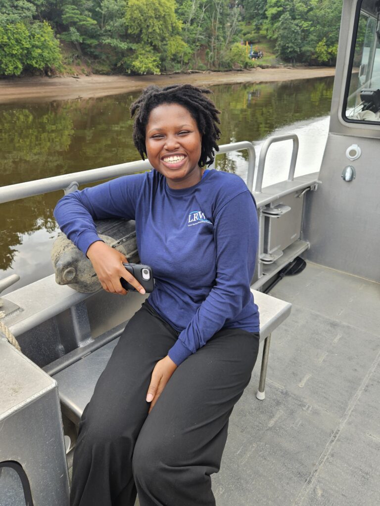
Endurance is a senior at Rutgers University, The State University of New Jersey—New Brunswick, majoring in Cell Biology and Neuroscience. This summer, she wanted to be involved in public service and community engagement which led her to apply for the 2026 Rutgers Scarlet Service Internship Program. Even though she did not know which organization she would end up interning with, she knew she wanted to do something that would require her to apply the knowledge she acquired in her coursework out on the field. After a rigorous interview process with five non-profit organizations, she matched with the Lower Raritan Watershed Partnership!
With the LRWP she serves as a Pathogens Monitoring and Communications Intern, where she works with volunteers to collect hydrological samples and record hydrological field data. Under the supervision of Dr. John Meyer, Endurance is also in charge of writing weekly blog posts that include results from the Interstate Environmental Commission (IEC) lab analysis of the water samples and a narrative of the pathogens monitoring sessions. Additionally, she works together with the LRWP team and its volunteers of diverse backgrounds in coming up with possible solutions to tackle water quality and environmental safety issues to improve the health of the communities that surround the Lower Raritan.
We asked Endurance what she has learned through her internship:
“I have developed strong communication across lingual bridges, refined written and spoken science communication and have strengthened leadership, organizations and teamwork skills!”
Endurance shared that she is passionate about medicine and using scientific insights to enhance community wellbeing and says her work with LRWP has offered an early, hands-on glimpse into what community-engaged science looks like in practice.
You can read Endurance’s journal entries about her pathogens monitoring experiences here:
By Endurance Laryea, LRWP Summer Research Intern.
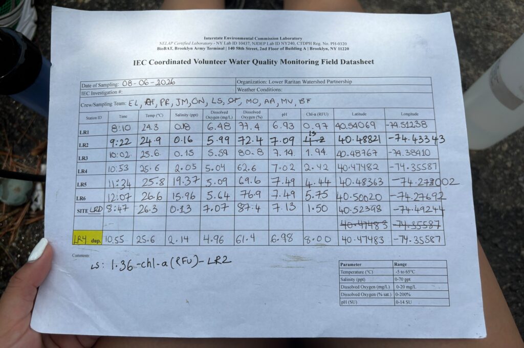
All parameters seemed to be in safe ranges at the time of monitoring today. Photo by Paula Rubio.
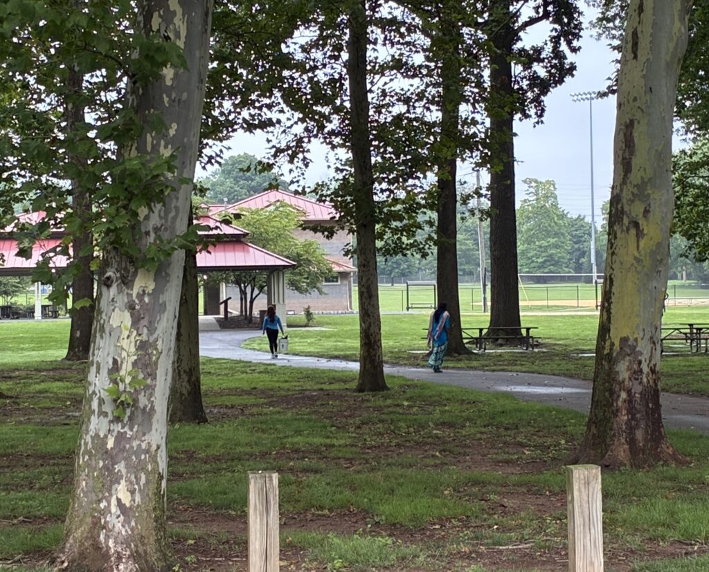
Olesya, Lakshmi and Bryanna collected five gallons of trash at Riverside Park. Laksmi and Olesya are seen going to empty the trash bucket into a larger trash can. Photo by Endurance Laryea
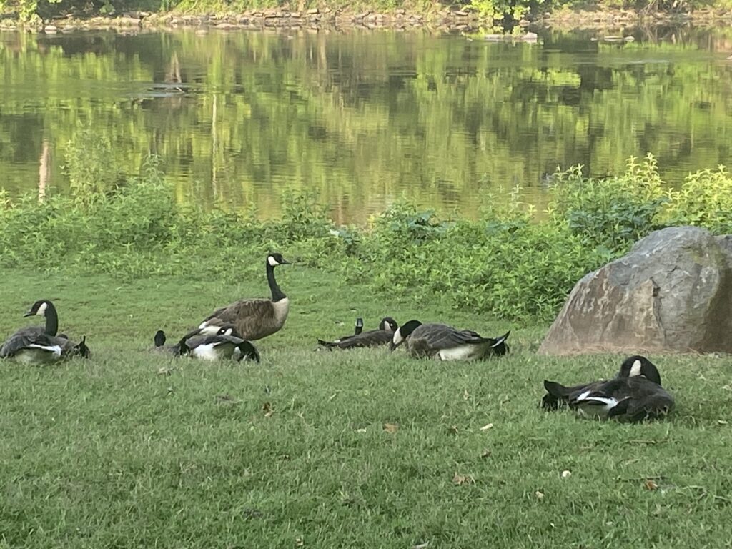
I wondered where all the geese were when we arrived at the parking lot today. After sampling, Olesya pointed them out to me– they had moved further downstream from the park. The increase in scrub growth along the bank of the river makes it difficult for them to access it from the parking lot. This is great for Riverside Park because it reduces the amount of fecal matter from the geese t that gets washed into the river during rainfall. But wouldn’t the geese just find somewhere else along the river? Yes, they might. However, it may not impact Riverside Park as much as it does when the geese are at this site. This site is one where people come into primary contact with the river, so it would best for the geese to move elsewhere where people do not come into contact with the river.
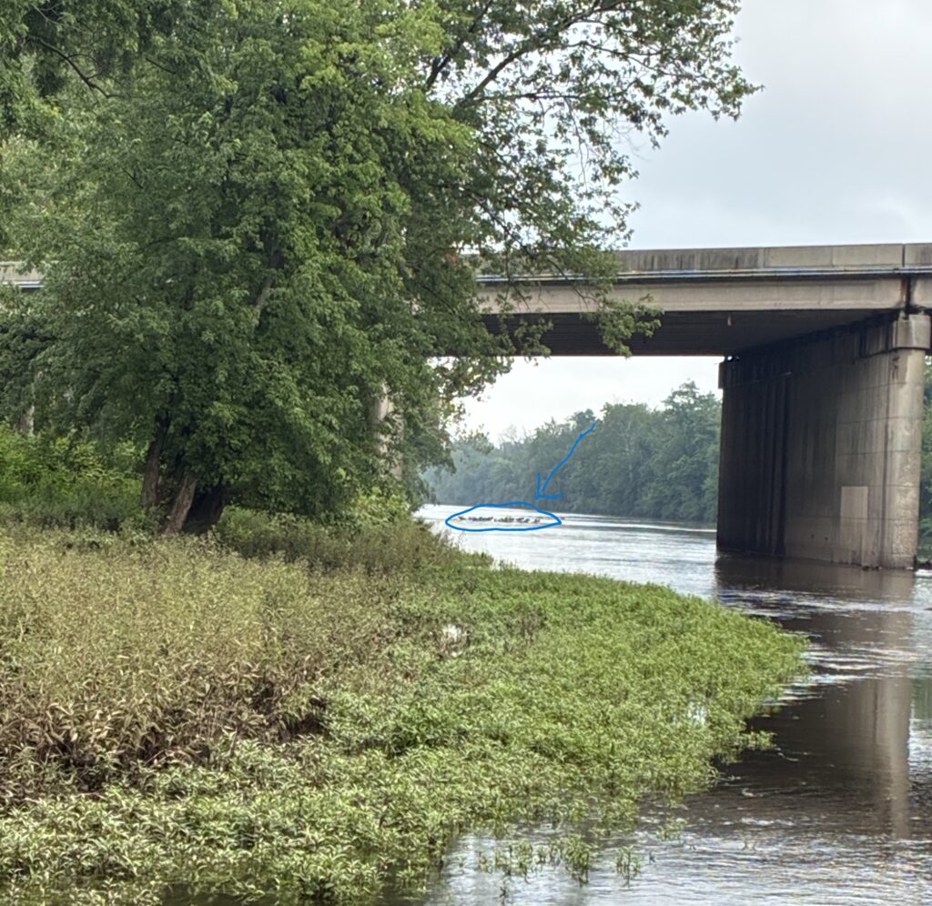
Photo by Endurance Laryea.
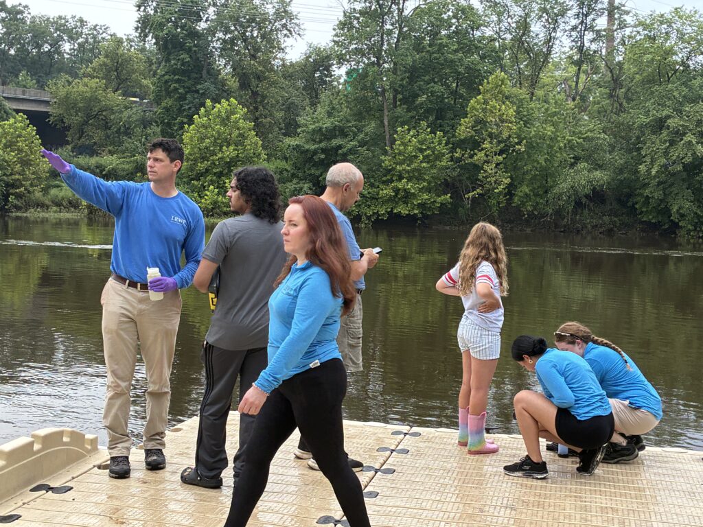
A huge team today! John explains the landscape at Riverside Park to Michael, a resident of Piscataway, Art completes the visual habitat assessment for Riverside Park, Ashley and Paula take hydrological measurement while Bryanna observes. By Endurance Laryea
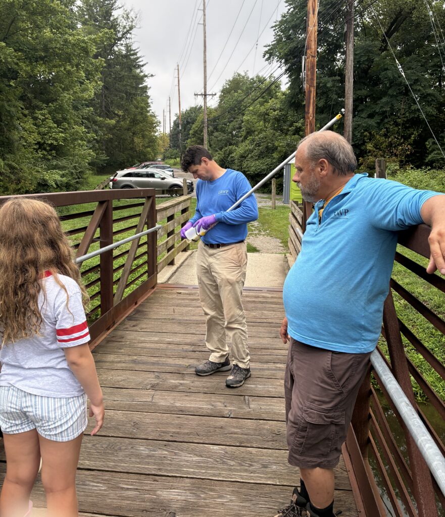
On the bridge of the D&R canal near the Van Wickle House, John gets ready for sampling duties as he straps the sample bottle on the sampling stick. The canals are the only sites that usually require a sampling stick because of how far the surface of the water is from wherever we stand. Photo by Endurance Laryea
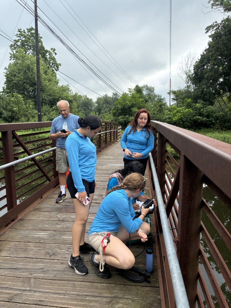
Art completes the habitat assessment for D&R canal while Lakshmi and Ashley handle measurement recording. Photo by Endurance Laryea.
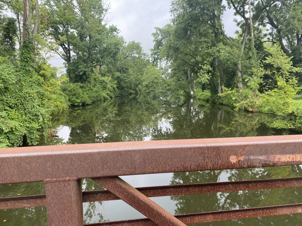
Turns out I am not the only one who thinks this is a great photo spot. Two people appeared to be in the middle of a photo shoot at the site–I’m sure their pictures turned out great! Photo by Mike Orsini
The tide was higher at Piscataway when we started monitoring but it has gone out by the time we reached Rutgers Boat House, New Brunswick.
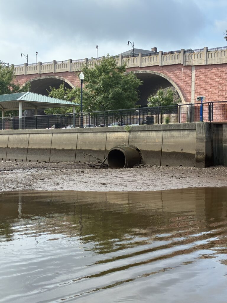
Photo by Endurance Laryea.
John had a fun activity for Bryanna. He gave her a sheet that had information on the ranges of temperature, pH and dissolved oxygen levels and their effect on fish activity. Lakshmi, Olesya, Paula, Ashley and I guided her as she compared the measurements we had gotten so far to the information on the sheet. She then concluded that all the fishes were fine because the parameters were all in the safe range according to the sheet.
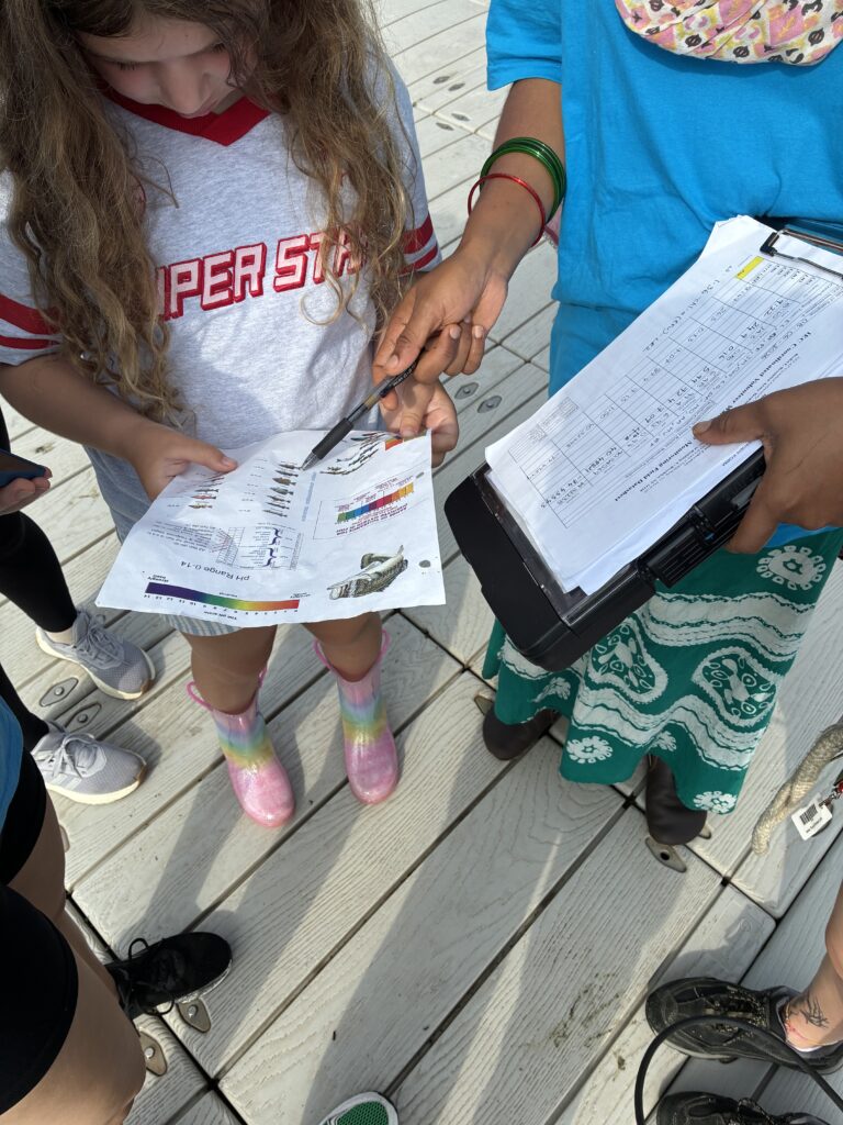
Photo by Endurance Laryea.
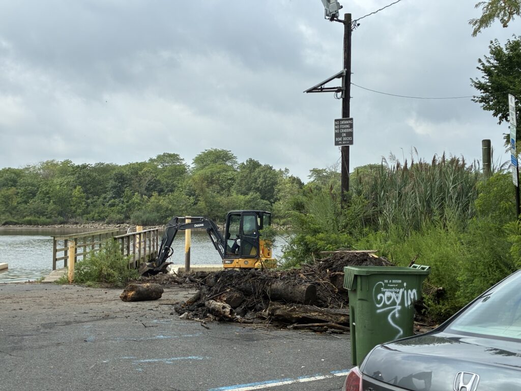
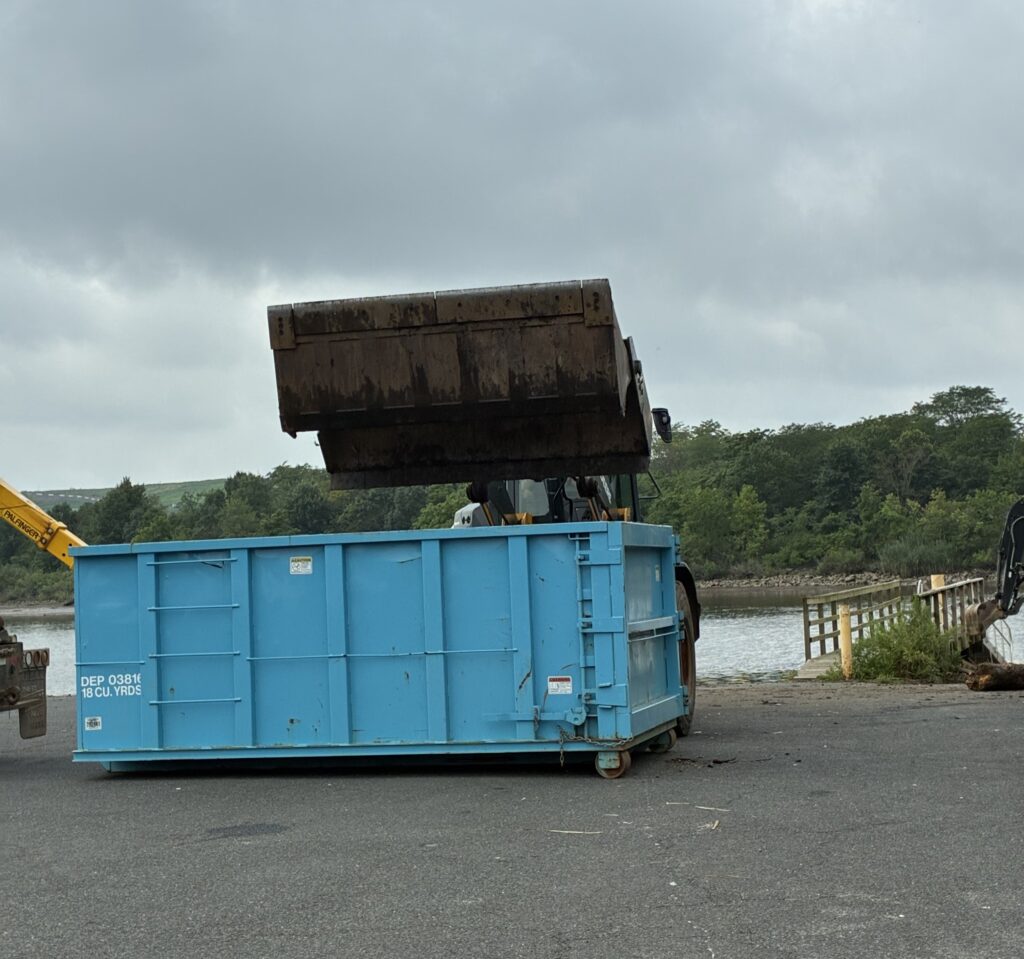
Second cleanup, since the start of pathogens monitoring this summer, witnessed at Edison Boat Launch today.
Last time, the cleanup was done between the two docks only. This time, it was being done at the right side of the right dock where most of the debris is and gets swept to the middle of the docks. It will now be easier for boats and kayaks to access the river at this site.
Photos by Endurance Laryea.
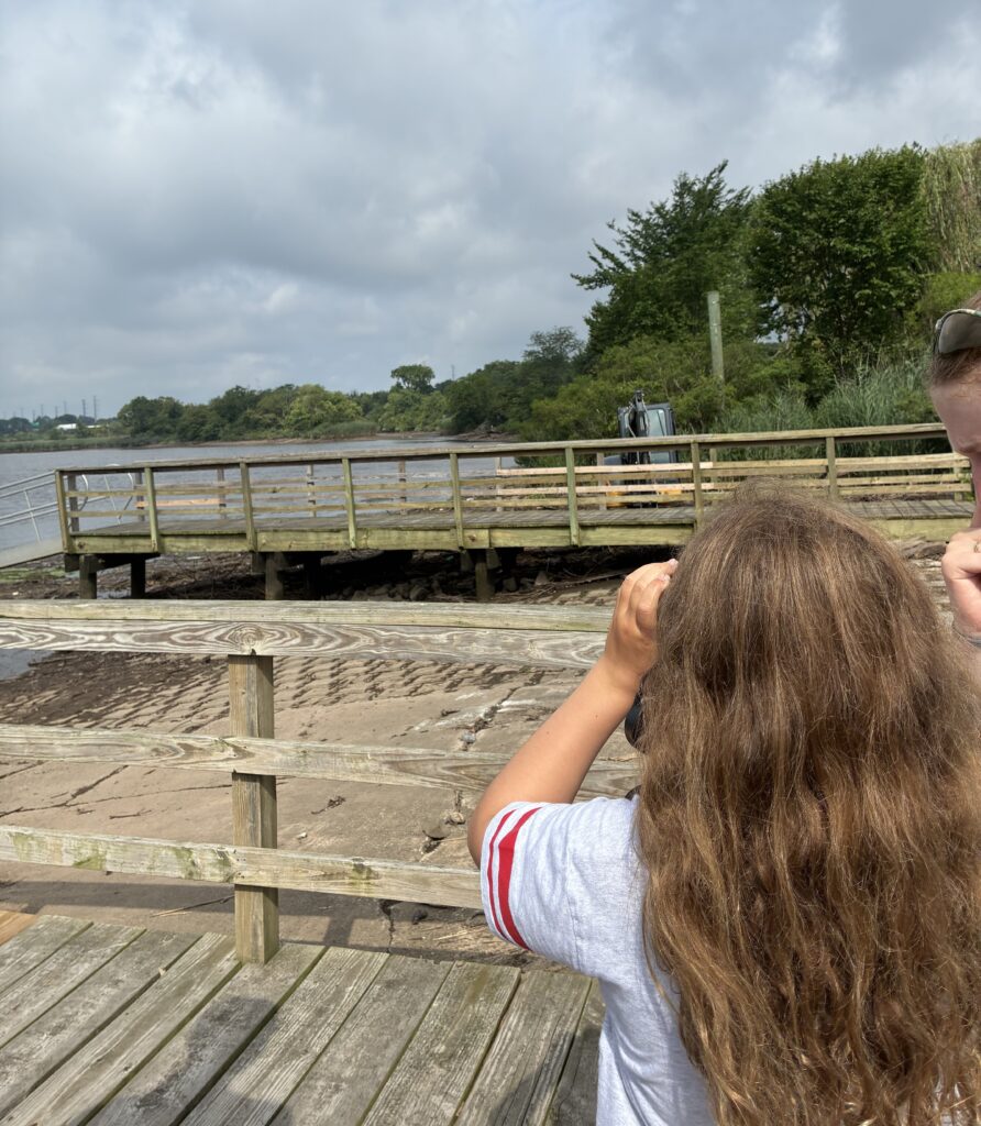
Art spotted a bird and gave his binoculars to Bryanna for her to try spotting and identifying it too. Photo by Endurance Laryea.
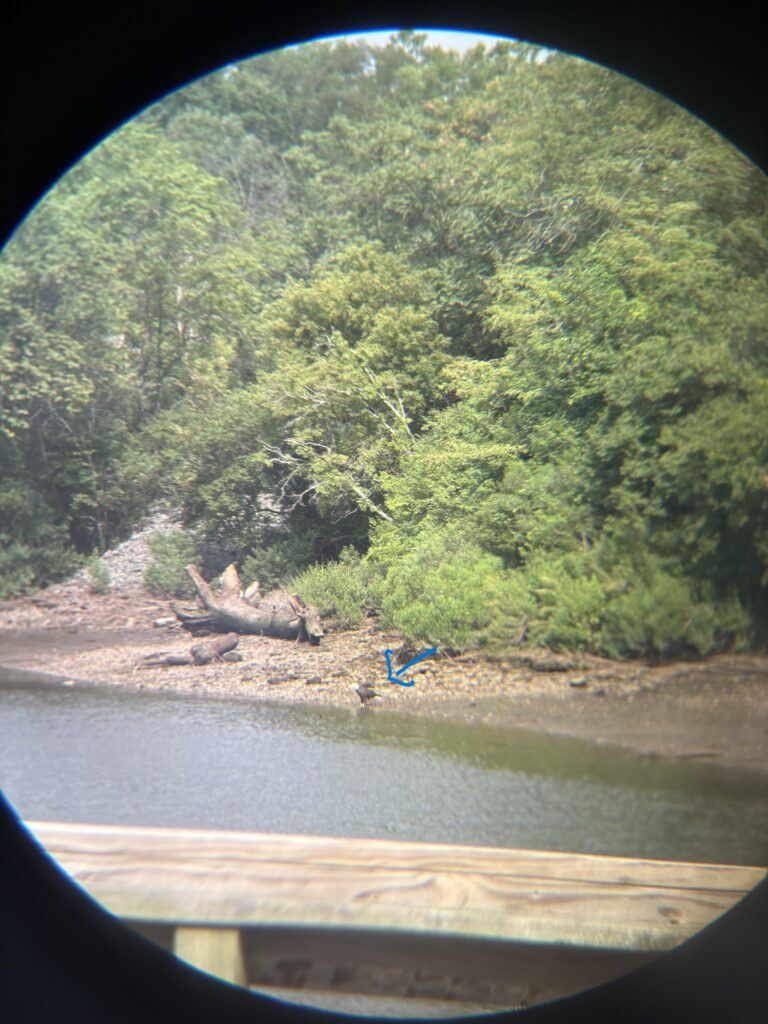
After a couple of minutes, she exclaimed, ‘Oh I see it, it’s a bald eagle!’ It was, indeed, a bald eagle. Photo by Ashley Fritz.
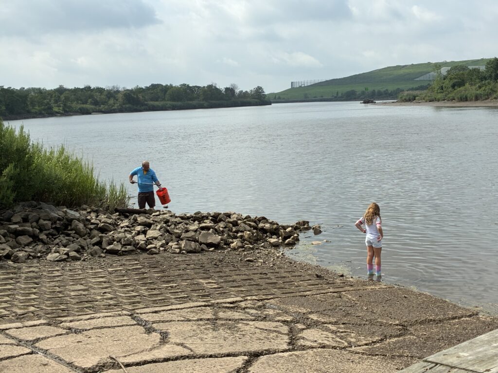
Mike on trash duty while Bryanna washes her boots at the bank of the river. Photo by Endurance Laryea.
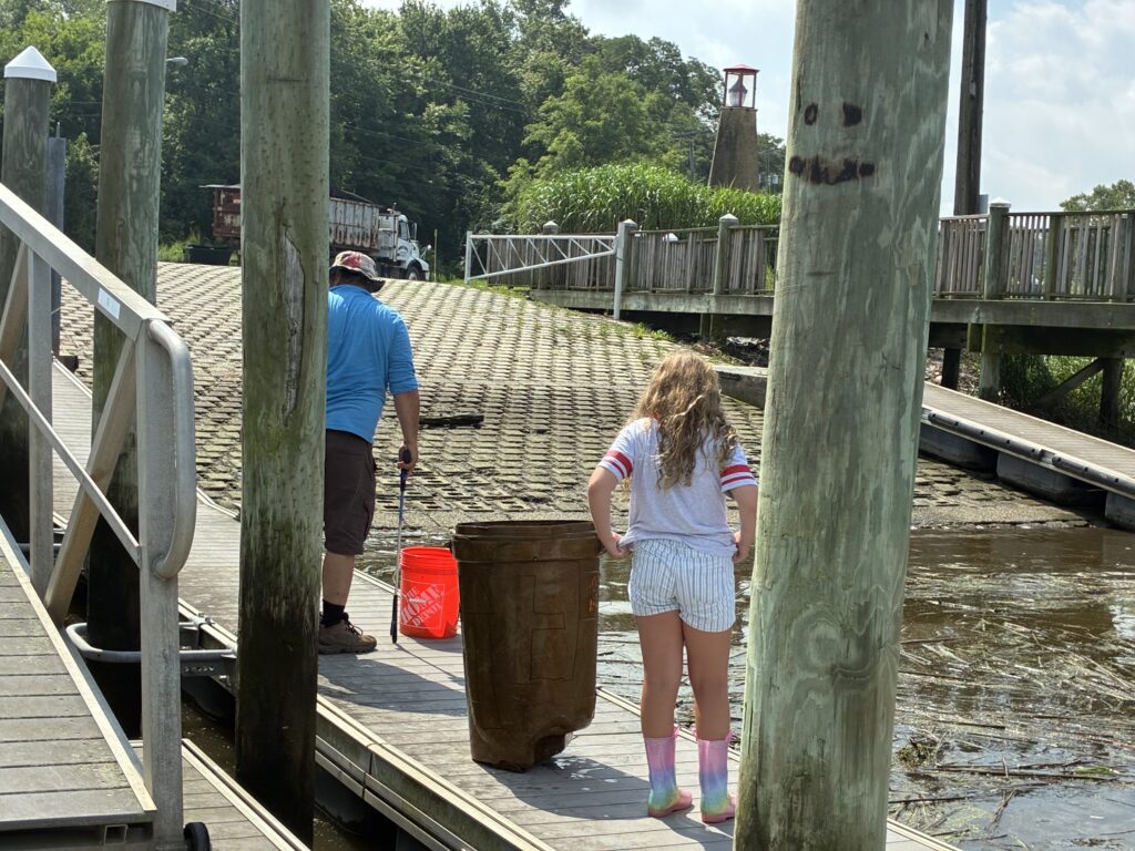
Mike pulled out this huge plastic bucket out from the river at Sayreville. This is his largest pick-up yet! Photo by Endurance Laryea.
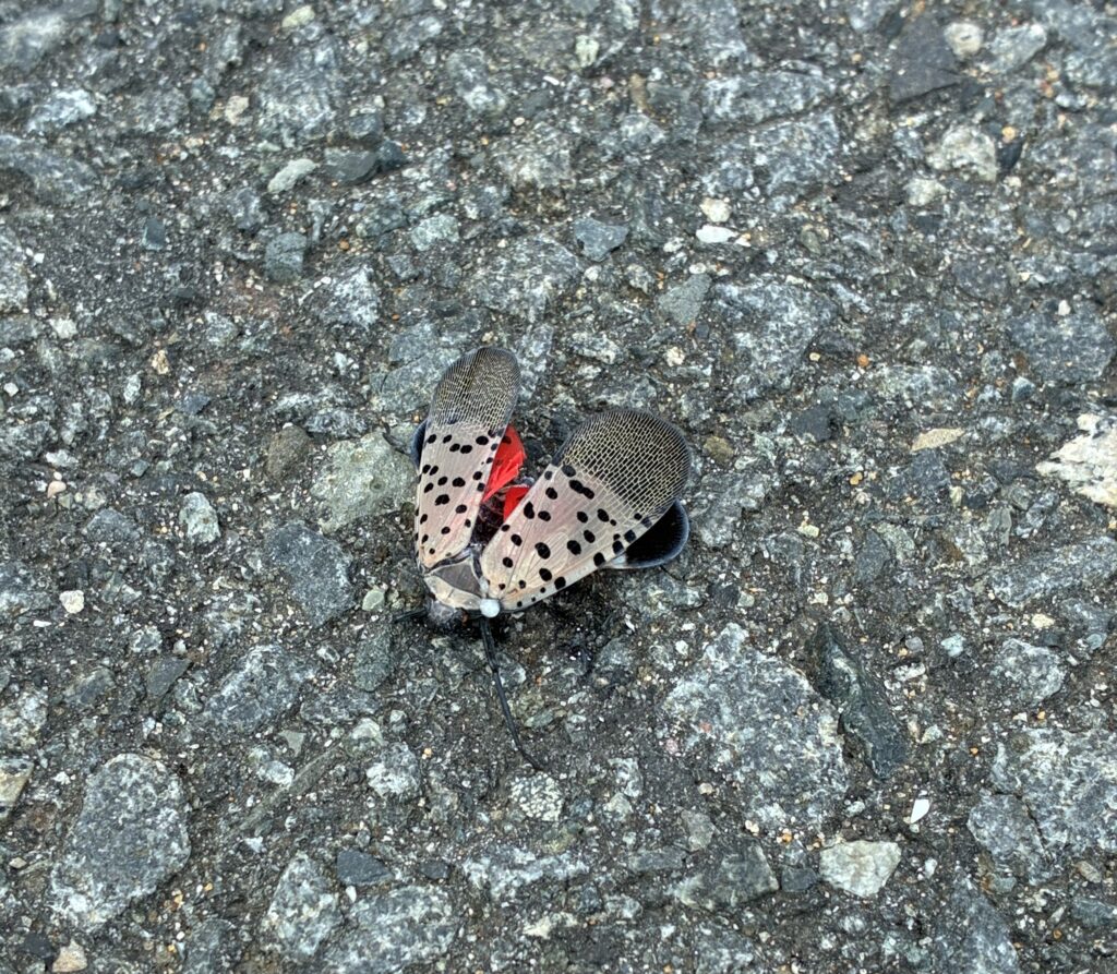
This is a spotted lantern fly, spotted (no pun intended) on the parking lot of Waterfront Park in South Amboy. Spotted lantern is an invasive species in the United States that cause significant damage to agricultural crops and ornamental plants as well. So, unfortunately, when seen, these beautiful flies need to be stepped on to prevent damage to prevent damage to New Jersey plants. Photo by Endurance Laryea
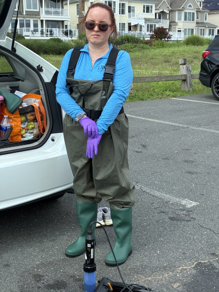
Olesya gets ready for sampling duties at Waterfront Park with her waders. Photo by Endurance Laryea.
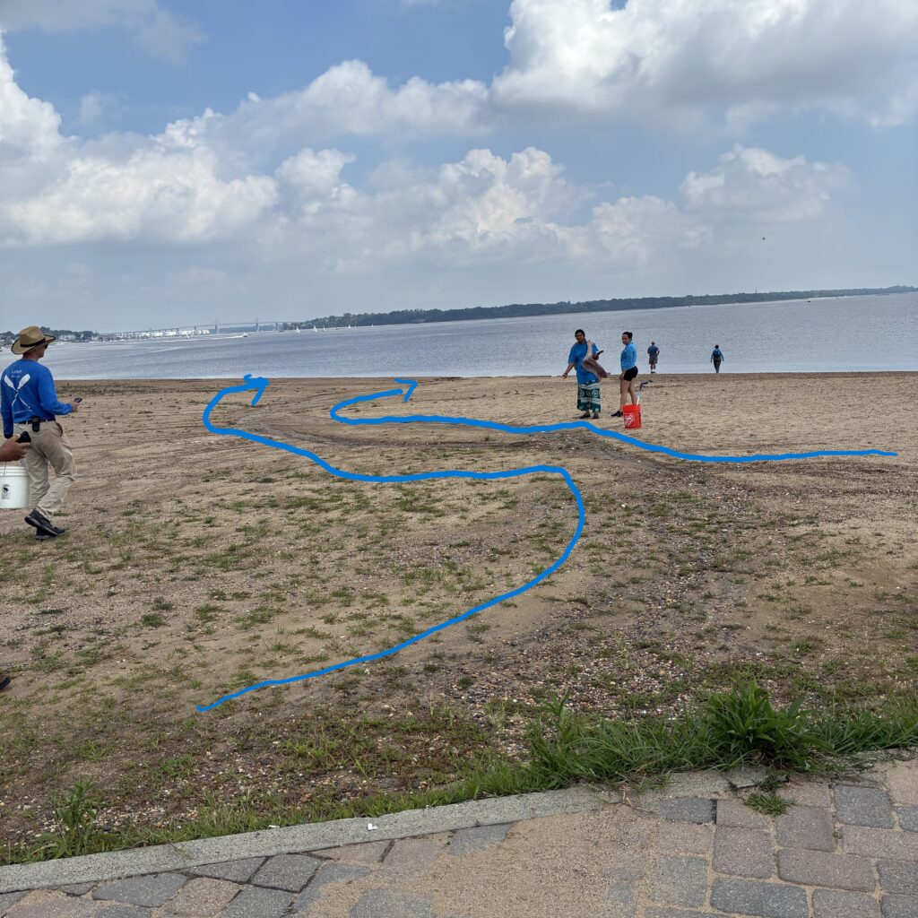
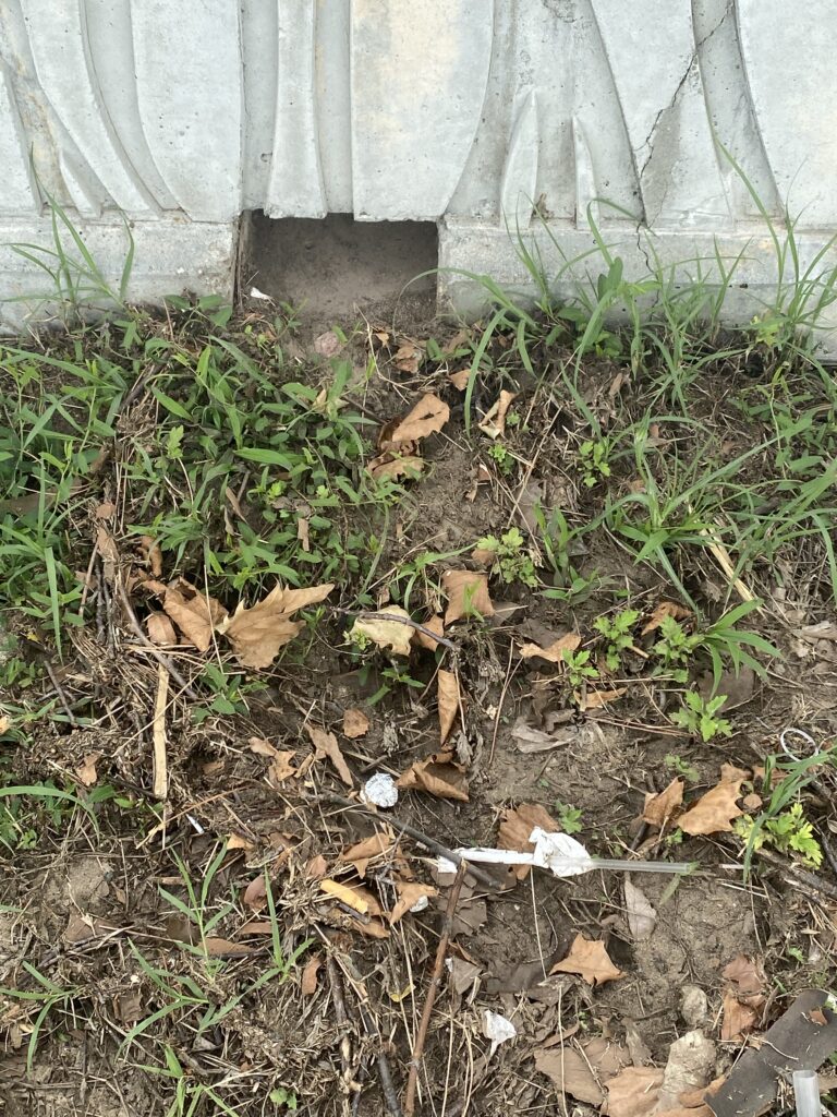
This erosion pathway created by rushing rainwater from the parking lot and walkway can be a highway for pollutants (like sediments, debris, litter) to get into the river. This is known as Nonpoint Source Pollution. Nonpoint Source Pollution (NPS), defined by the EPA, is any type of pollution that is not coming from a point source such as a sewage pipe, an industrial pipe or channel etc. It could be from land or road runoff. One simple way to curb Nonpoint Source Pollution is to keep litter, pet waste and debris out of roads, parking lots etc., to prevent them from getting washed into the river during precipitation. Basic Information about Nonpoint Source (NPS) Pollution | US EPA Photo by Endurance Laryea.
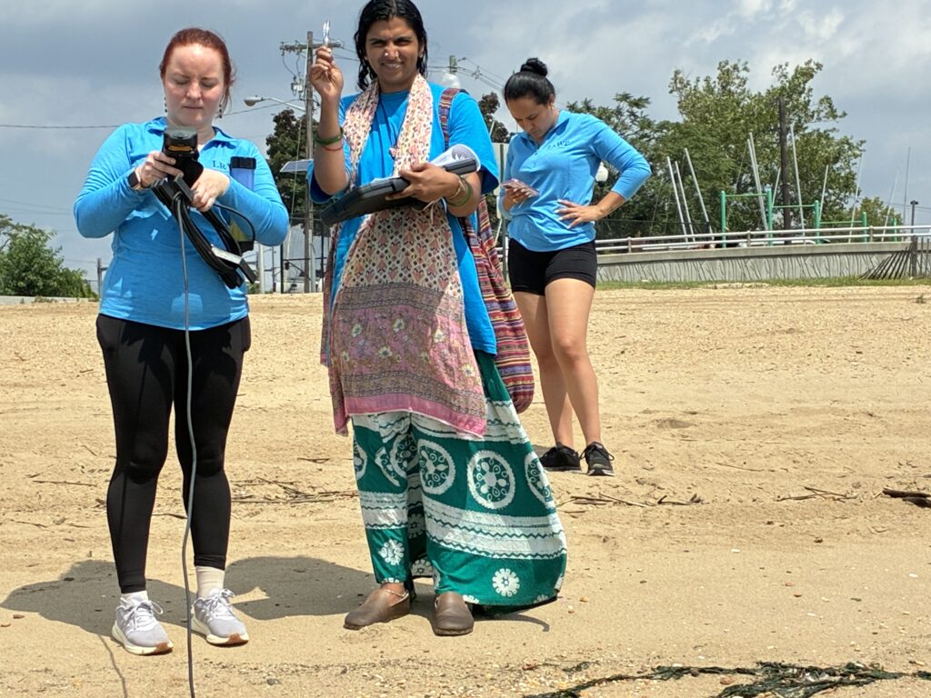
Olesya and Lakshmi on measurement recording duty. Photo by Endurance Laryea.
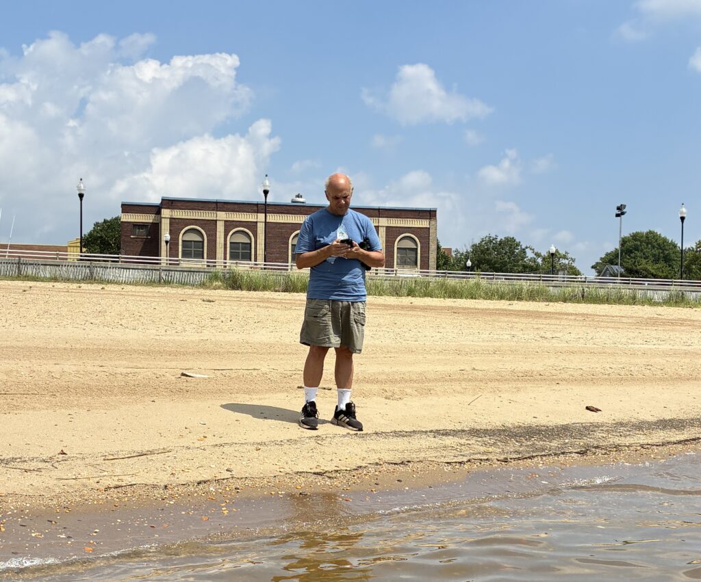
Art on visual habitat assessment duty. Photo by Endurance Laryea.
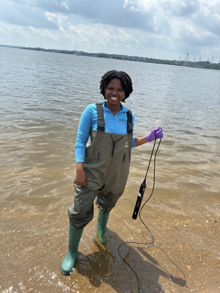
Endurance poses for a photo at the end of monitoring. Photo by Lakshmi
Stay safe and cool!
By Endurance Laryea, LRWP Summer Research Intern.
We started and ended monitoring session today with cloudy skies and cool temperatures. While it rained before and after the session, we stayed dry thanks to some excellent timing.
All our parameters seemed to be in a good range; however, we expected the enterococci and fecal matter levels to be on the higher end due to the precipitation we experienced in the past 48 hours.
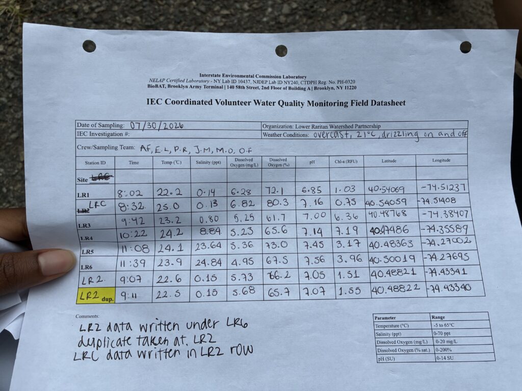
Photo by Endurance Laryea.
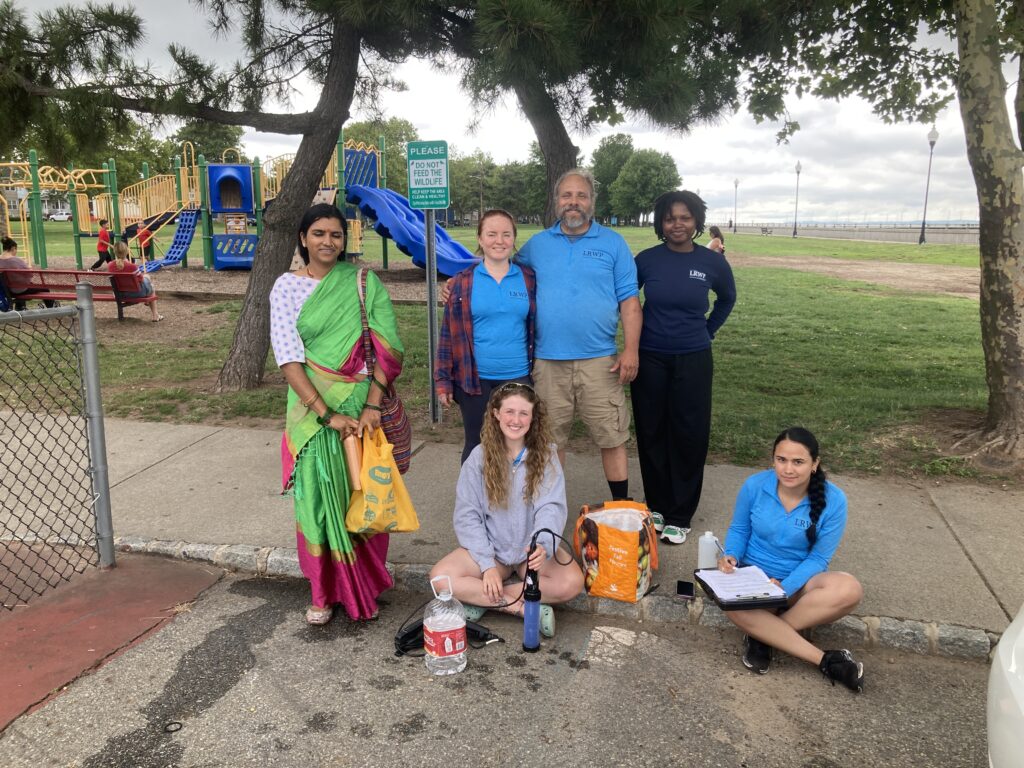
The team today! Lakshmi, Olesya, Endurance, Ashley, Paula and John (taking photo).
We were joined by Lakshmi at Edison where John pointed out some important features of the landscape around the river and explain the goals and activities of the LRWP Pathogens Monitoring sessions this summer.
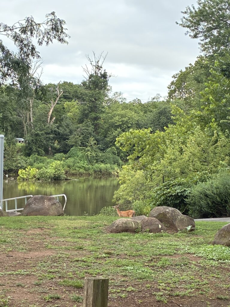
This deer was seen wandering about in circles at Riverside Park, Piscataway when we got there this morning. It seemed to have lost its way–maybe strayed from its herd? Photo by Endurance Laryea.
High tide and stormwater led to high water levels at all seven sites.
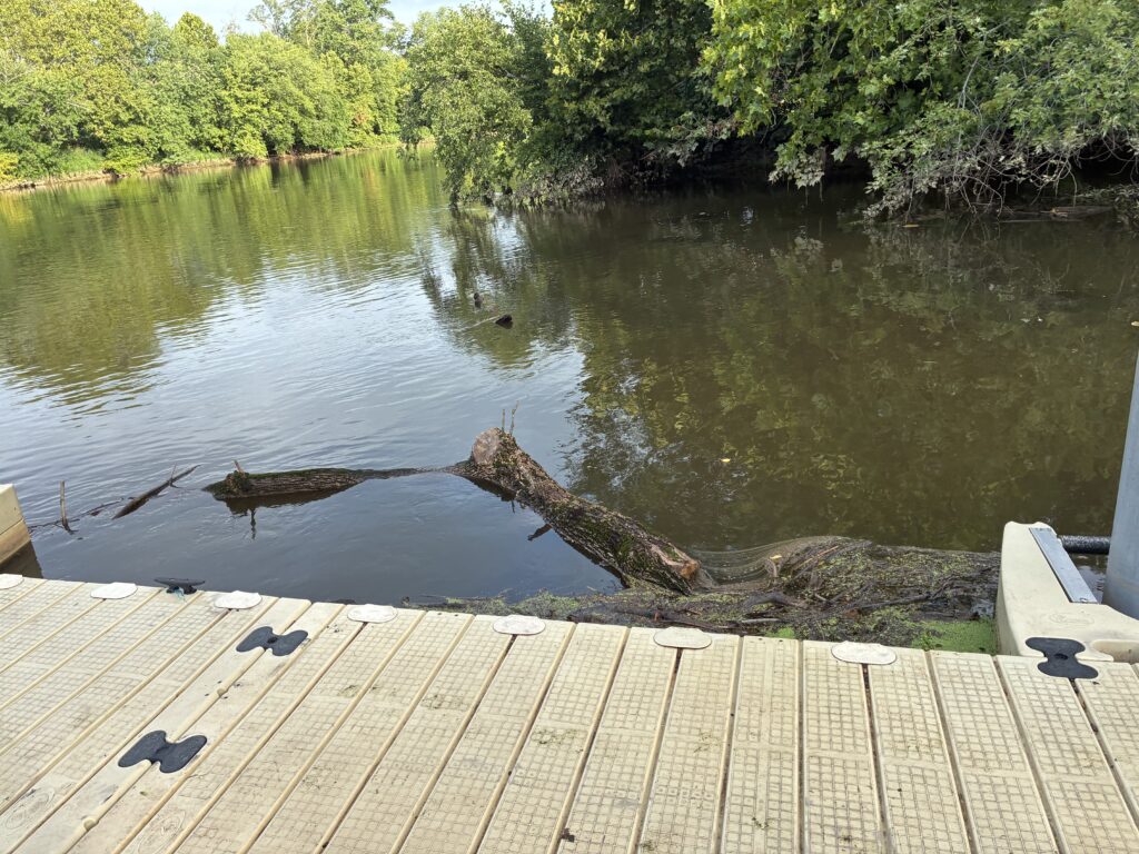
An ash tree trunk floating near the dock. Several ash trees have died and fallen off near the river at Riverside Park, and this may have been washed in by the storm in the last couple of days. The LRWP team is currently working to try to restore trees in the riparian zone. Photo by Endurance Laryea.
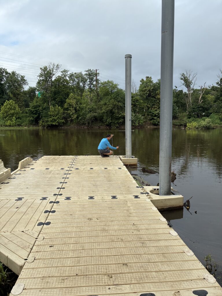
John made some height demarcations on one of the poles to make it easier to see changes in river depth. Photo by Endurance Laryea.
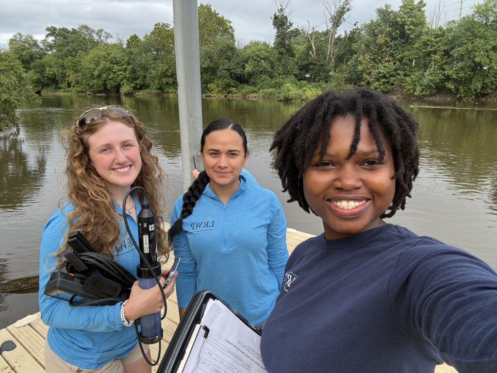
Ashley, Paula and Endurance pose for a photo after taking samples and hydrological measurements at riverside Park. John can be spotted in the background measuring the river depth and making demarcations on the pole. Photo by Endurance Laryea.
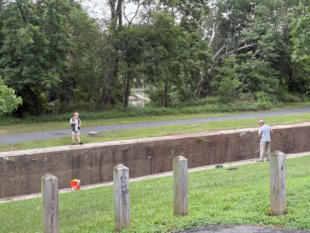
Two fishermen spotted at the Five-Mile Lock, Easton Avenue. At the time we came for monitoring and sampling, they had not had any luck. Hopefully they did after we had left. Photo by Ashley Fritz.
Ever wondered why ducks or geese move in a straight line on water? They remind me of elementary school kids being led by their teachers on a field trip. No teacher wants to get back to school only to realize that they lost a kid! It is a similar concept with these birds; however, another theory is that they do this to conserve their energy. The leader duck creates a ‘momentum’ ahead that the ones trailing behind paddle on. Less tiredness, less slacking!
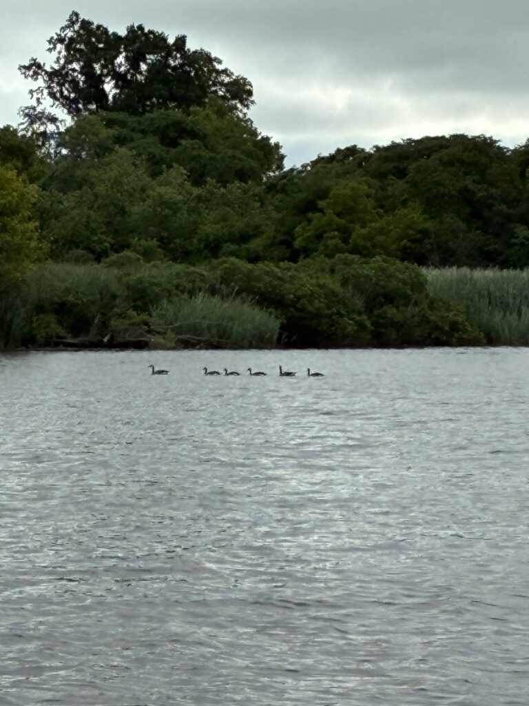
Canada geese swimming in a straight line at Rutgers Boathouse, New Brunswick. Photo by Endurance Laryea.
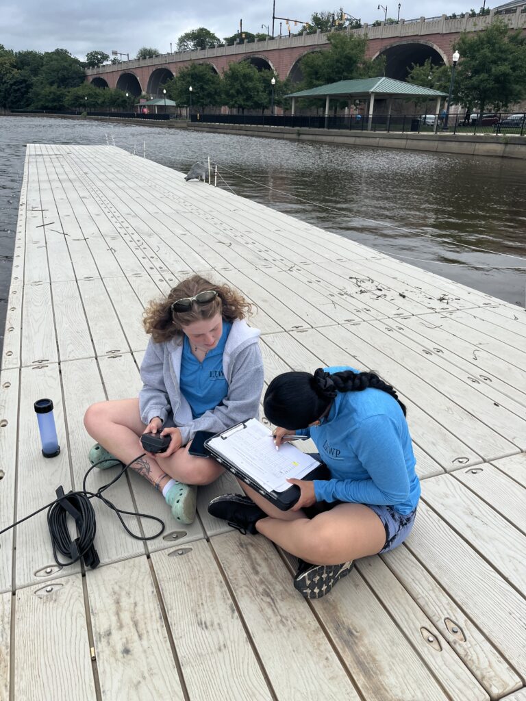
Paula and Ashley recording hydrological parameters at Rutgers Boathouse. Photo by Olesya Nabokova.
The honey locust trees pruned by Mike and John at Rutgers Boathouse have been fairing really well in the past couple of weeks. Thanks to the stewards at the Rutgers Boathouse who have been maintaining them and making they are not mowed down when cutting the grass.
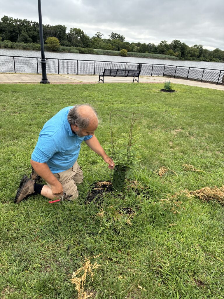
Mike making sure the tree guards are sturdy. Photo by Endurance Laryea.
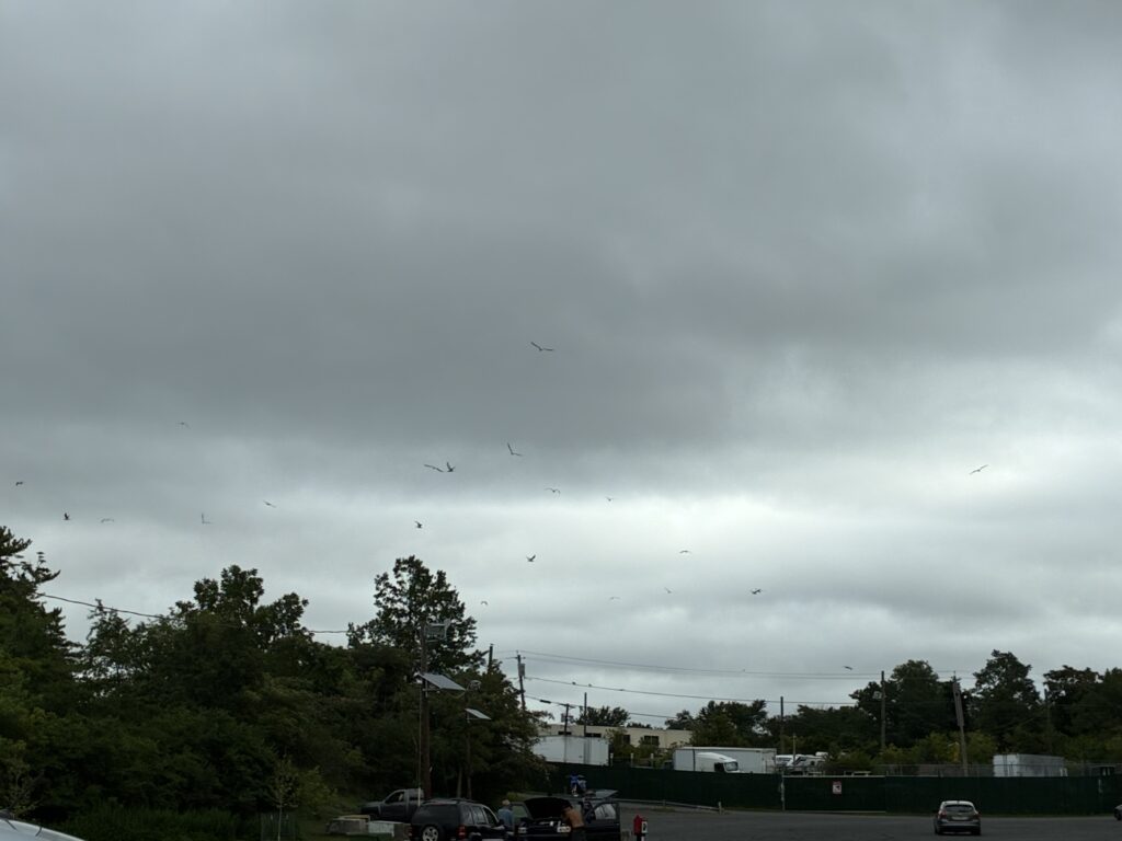
Seagulls flying frantically at Edison Boat Launch as the clouds get thicker and darker. Photo by Endurance Laryea.
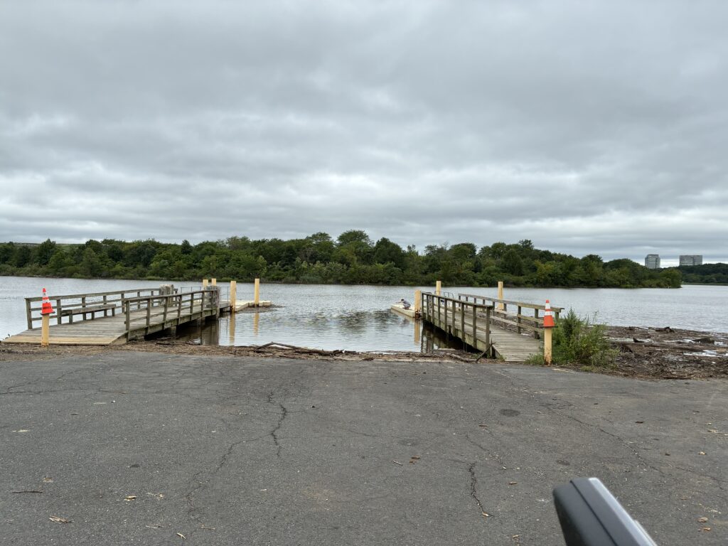
Man crabbing during high tide at Edison. Photo by Endurance Laryea.
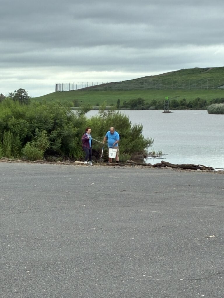
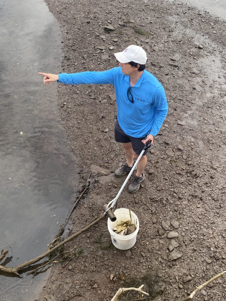
Olesya and Mike on Trash duty. Photo by Endurance Laryea.
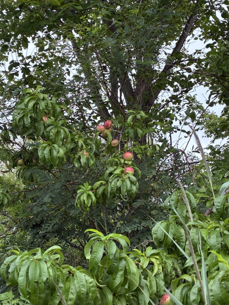
John spotted this apple tree with its fruits almost ready to harvest. Apple flowers start to bloom in the spring. By early summer, pollination takes place and the fruits start to develop. Pollination is the beginning of the reproductive process in plants. It is followed by fertilization which is when the fruit start to develop. By late summer to early fall, the apples are ripe and ready to be harvested. Photo by Endurance Laryea
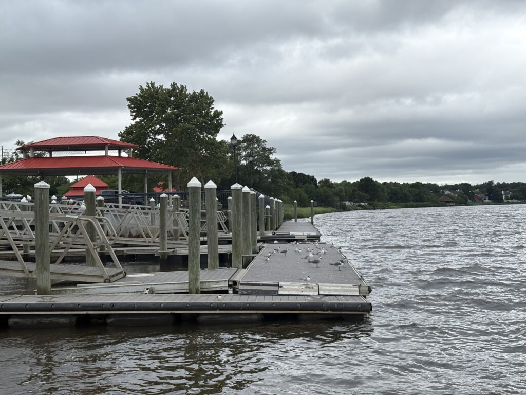
High tide in Sayreville too. Photo by Ashley Fritz.
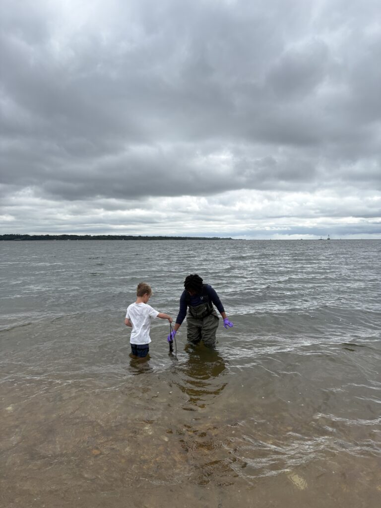
Remember the grandfather who reminded us of his grandson a couple of weeks ago at Waterfront Park, South Amboy? He came with his grandson, Gavin, to sample with us today at this site! Gavin has grown so much within the year that he outgrew his waders, so he had to go in with his swim shorts. We were excited that he was able to join us today! Photo by Ashley Fritz.
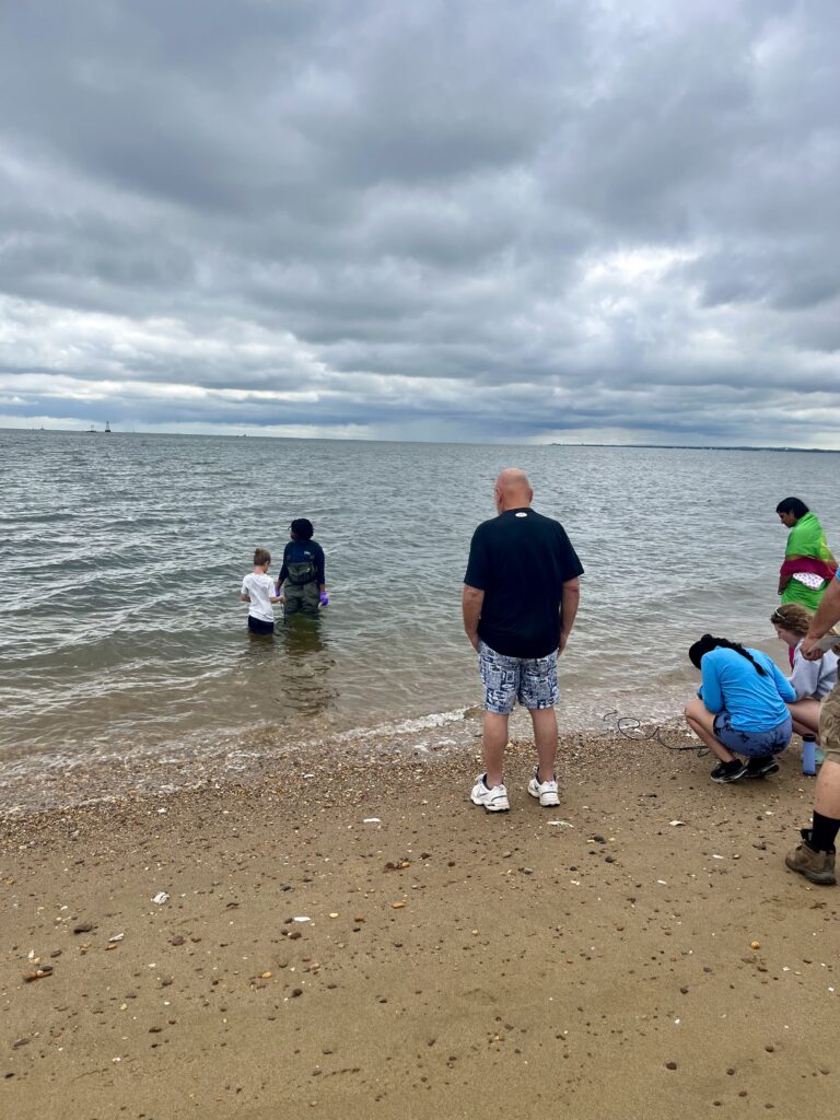
Gavin’s grandfather looks on while he and Endurance hold the sonde in the river and Paula and Ashley record the measurements. Photo by John Meyer.
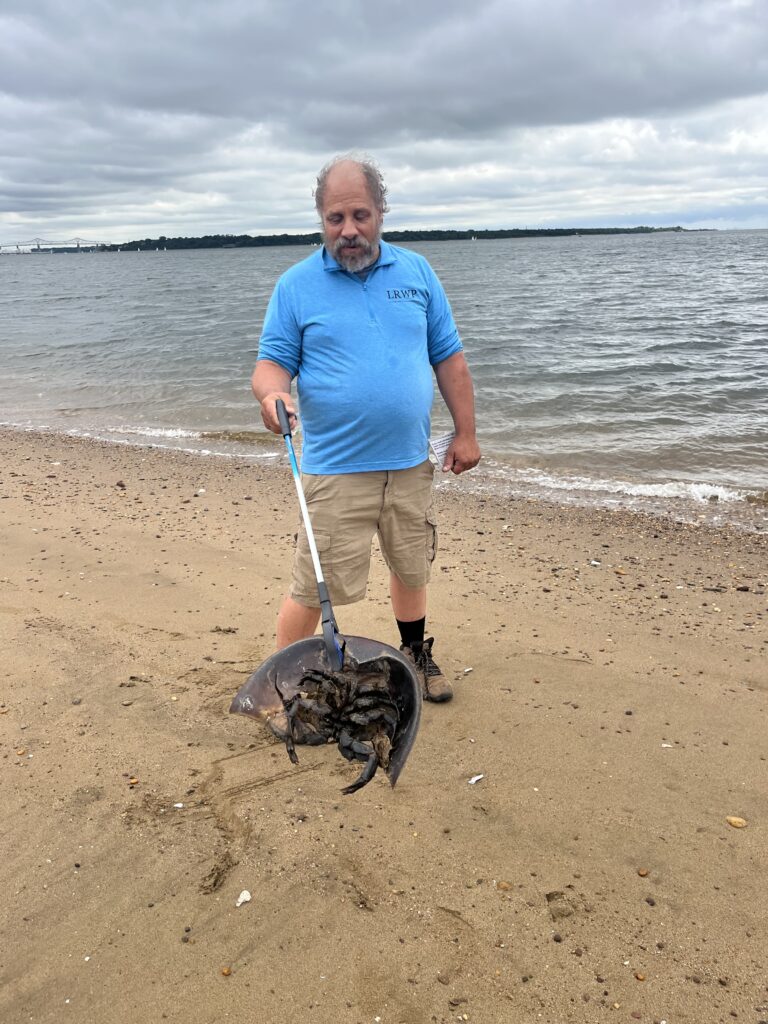
Mike holds up a half of a dead horseshoe crab. Photo by Olesya Nobokova.
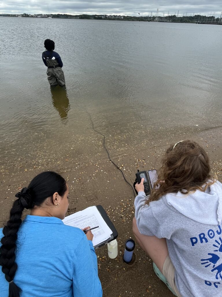
Paula, Ashley and Endurance on sampling duties in Perth Amboy. Photo by Olesya Nobokova.
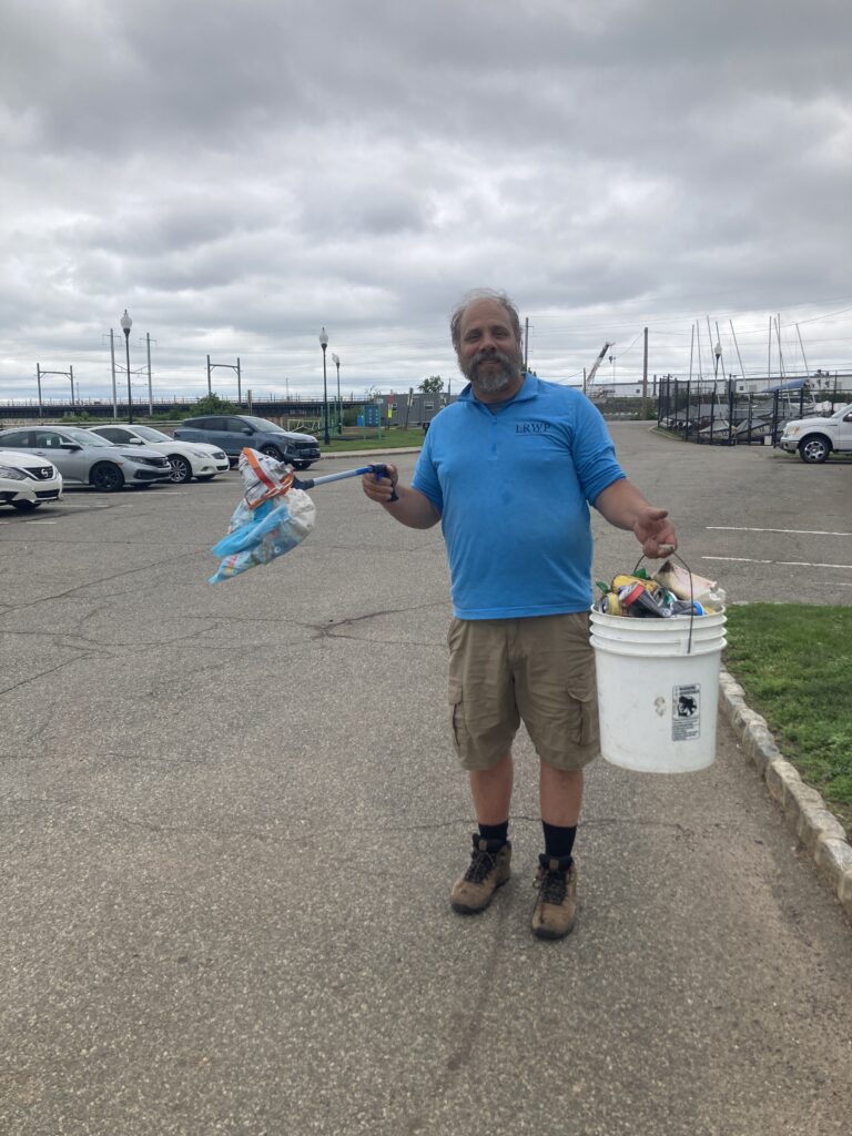
Mike holds up a baby diaper with his trash picker in one hand and 5-gallon bucket full of trash in the other at Perth Amboy. A poor sight to see! Photo by John Meyer.
Photo by Endurance Laryea.
Enjoy your weekend and remember to be safe if you decide to spend your time on the river this weekend!
By Endurance Laryea, LRWP Summer Research Intern and J.M. Meyer.
The fourth pathogen monitoring session of the month took place on Thursday, July 23rd. Each week during the summer, from May to October, the Lower Raritan Watershed Partnership and Rutgers Cooperative Extension of Middlesex County run a volunteer-based monitoring program along the Raritan River. We collect water quality samples at six non-bathing public access beach sites, provide our samples to the Interstate Environmental Commission for analysis in their laboratory, and report the results to the public. Our mission is to share this data with the community and partners to ensure the safe use of the Raritan River for all.
Our lab results for water quality samples taken on Thursday, July 23rd, 2026, show Enterococcus bacteria levels exceeding the EPA federal water quality standard of 104 cfu/100mL at one of our regular monitoring sites this week. The problem sites are indicated by the red frown on the map and chart and include Riverside Park (Piscataway). Green smiles on the chart and map indicate the sites with bacteria levels safe for recreation and include the following: Rutgers Boathouse (New Brunswick), Edison Boat Basin (Edison), Ken Buchanan Waterfront Park (Sayreville), 2nd Street Park (Perth Amboy), and South Amboy Waterfront Park.
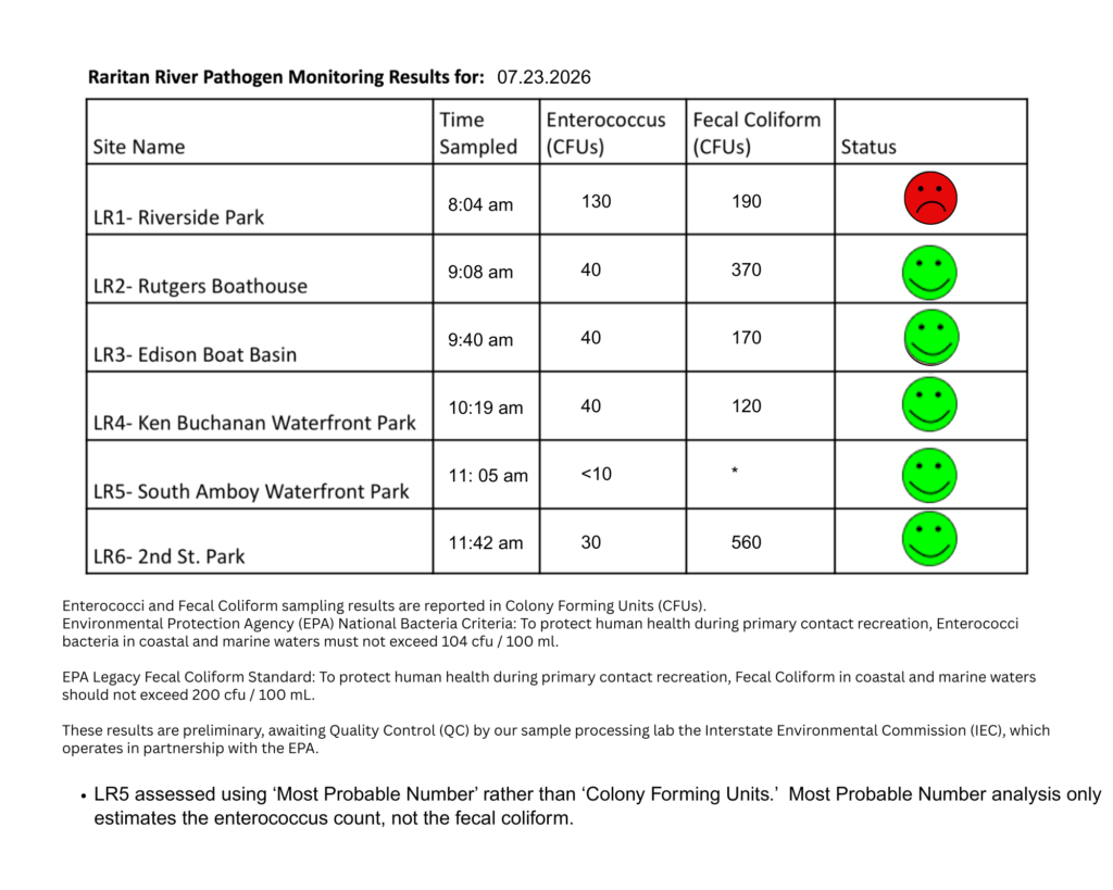
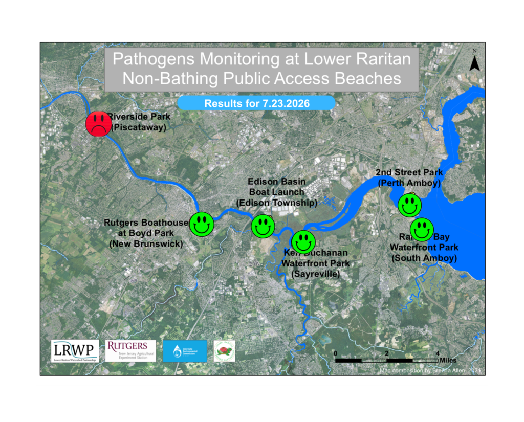
Pathogens/Enterococci levels are used as indicators of the possible presence of disease-causing bacteria in recreational waters. Such pathogens may pose health risks to people coming in primary contact with the water (touching) through recreational activities like fishing, kayaking or swimming in a water body. Possible sources of bacteria include Combined Sewer Overflows (CSOs), improperly functioning wastewater treatment plants, stormwater runoff, leaking septic systems, animal carcasses, pet waste, wildlife waste, and runoff from manure storage areas.
In order to better understand why Riverside Park, Piscataway has been our worst performing site over the past six years, we have started sampling further upstream. On July 23rd, we sampled the canal at Lock 11, South Bound Brook, a third time since we started pathogens monitoring this season. The lab analysis produced 30 enterococci cfu per 100mL which passes the EPA federal water quality standard of 104 cfu/100mL. Again, this site passed the test, as it has every week that we’ve tested it.
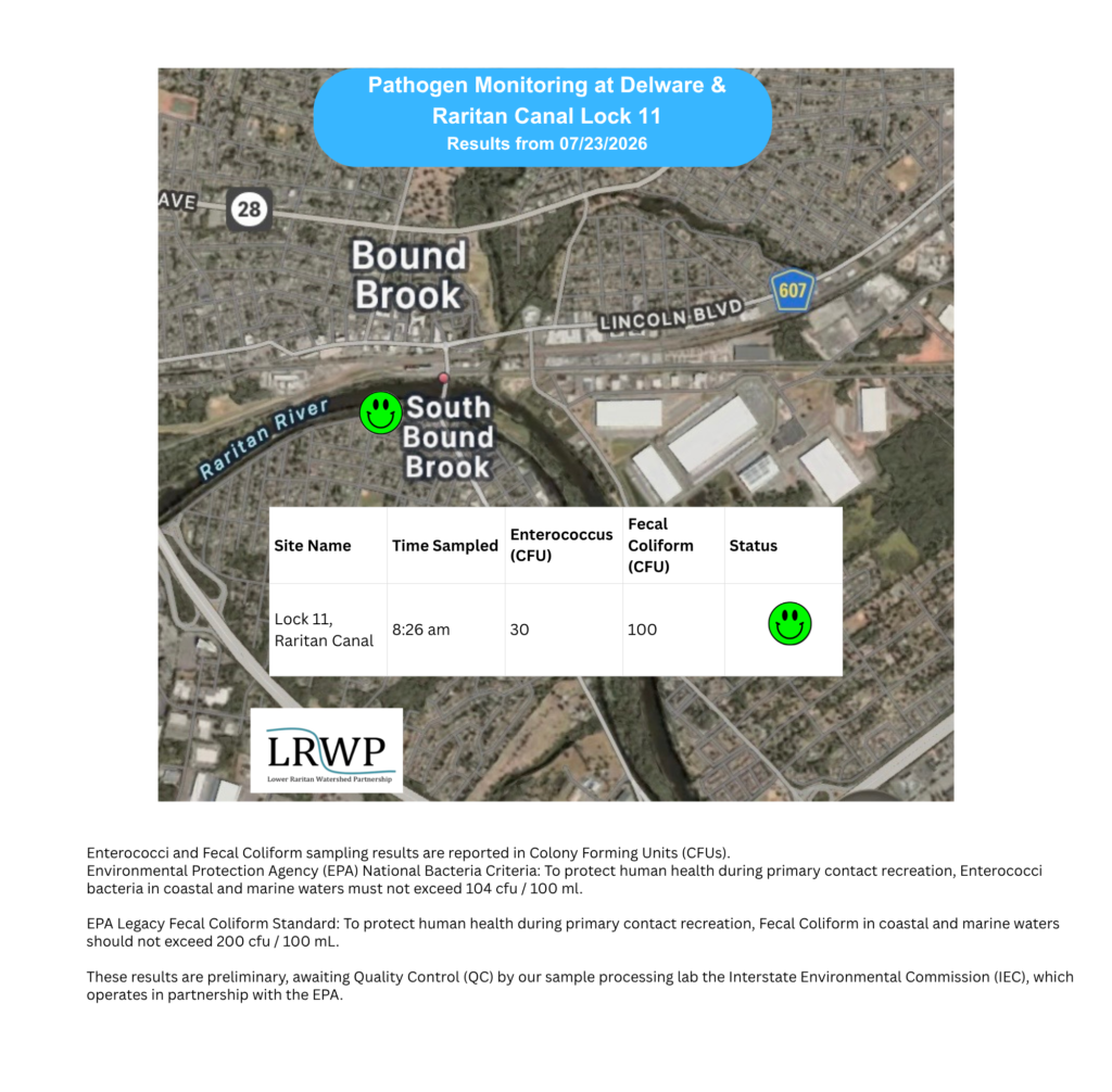
Our goal in reporting these results is to give residents a better understanding of the potential health risks related to primary contact during water-based recreation. If you are planning on recreating on the Raritan this weekend, make sure to stay safe and wash up after any activities!
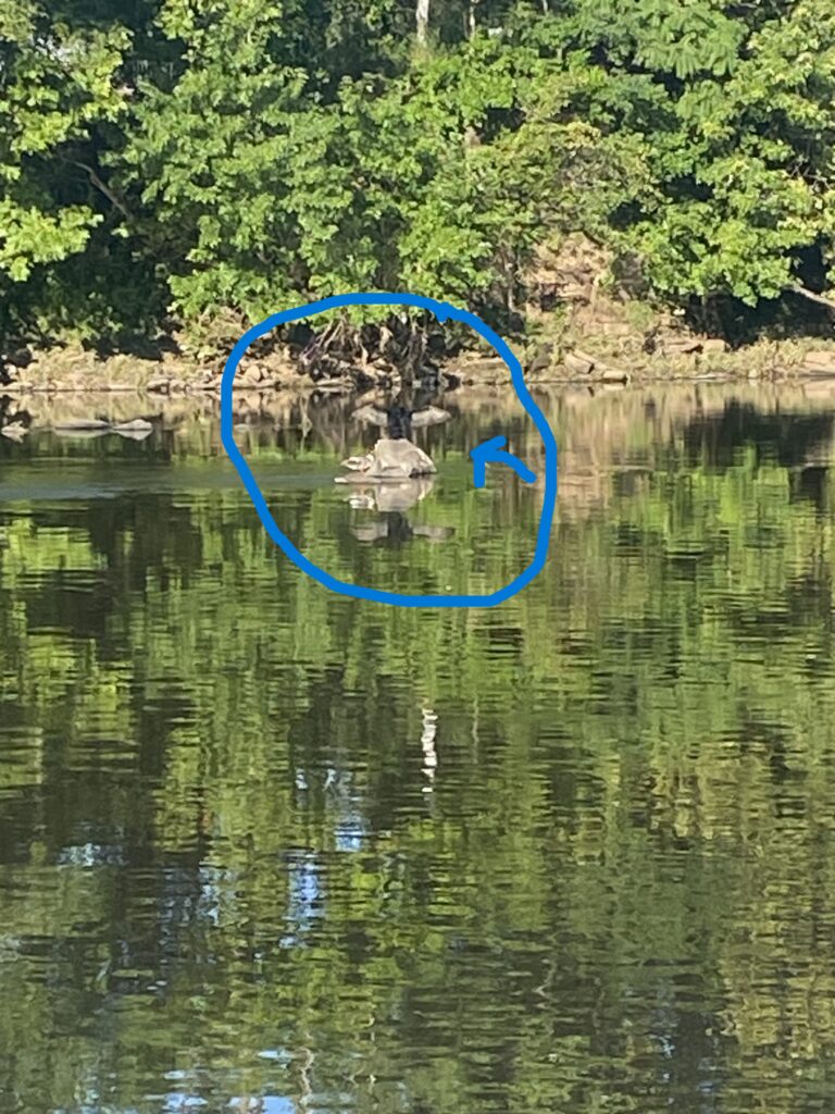
We were greeted by two birds this morning. One with its wings outstretched on a rock in the middle of the river and a smaller bird with orange feet and crest on a smaller rock beside it. Birds may stretch their wings for various reasons like temperature regulation, blood circulation, drying of their feathers or even a territorial sign. Not sure which this one was doing though. From where we stood, we were not able identify what kind of birds they were. Photo by Mike Orsini.
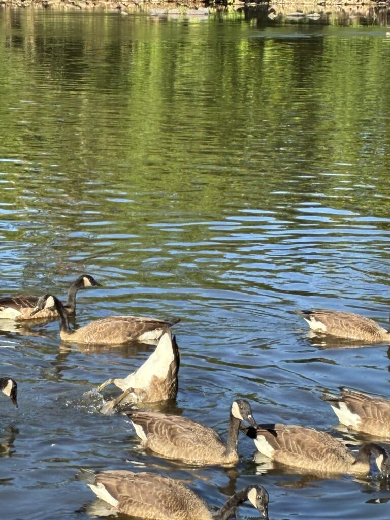
Who knew Canadian geese were into gymnastics? Here is a goose doing a handstand–or in this case, ‘beakstand’–to feed. We did not see them catch any fish, but they fed on some waterweeds while we were there. Photo by Endurance Laryea.
A public notice has been put up at Five Mile Lock, South Bound Brook, New Jersey to warn the community on usage of the D&R canal water. At the moment, there are no fishing or water consumption restrictions, however, there are warnings on the usage of the water for plant irrigation purposes. The canal has been treated with Sonar Genesis, an aquatic herbicide that is sprayed on the surface of the water to impede the photosynthetic processes of water weeds. The purpose of that was to control the growth of Hydrilla in the canal. Hydrilla is an invasive species. As discussed in last week’s post, invasive species are harmful to the ecosystems in which they are non-native hence, the need for management.
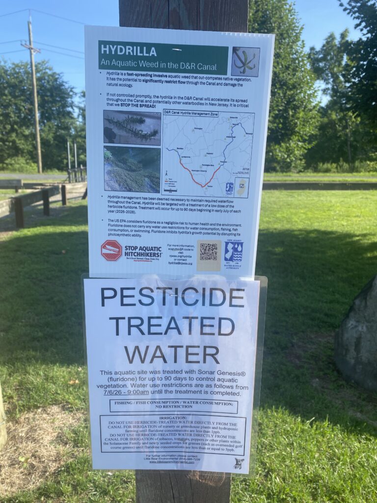
Photo by Mike Orsini.
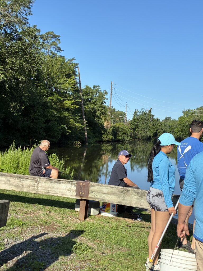
“Where are the fishes”, two fishermen inquired at Five Mile Lock, South Bound Brook
, New Jersey. We have not spotted any fish at this site since we started monitoring this season and this was the first time seeing any fishing activity going on here. Photo by Endurance Laryea.
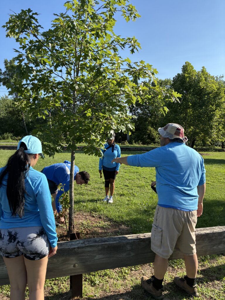
Photo by Endurance Laryea.
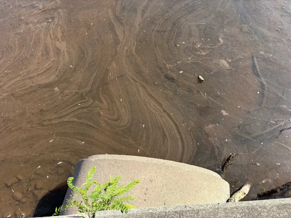
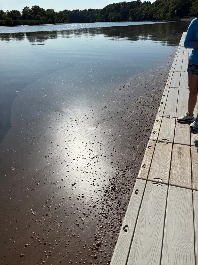
At Rutgers Boat House, New Brunswick, what looked like a biofilm was all over the surface of the water surrounding the dock. It appeared to be coming out of the outfall–possibly, organic matter being washed into the river. Think of a biofilm as a community of bacteria. They form when bacteria attach itself to a surface (In this case, the water surface), produce a glue-like substance called Extracellular Polymeric Substances (EPS) to help them stick to each other and the surface of attachment better, then reproduce forming a slimy layer of film on the surface of attchment. Biofilms can be found in various places, dranaige pipes, water storage tanks, down your kitchen drain, and even your teeth!
Photos by Paula Rubio.
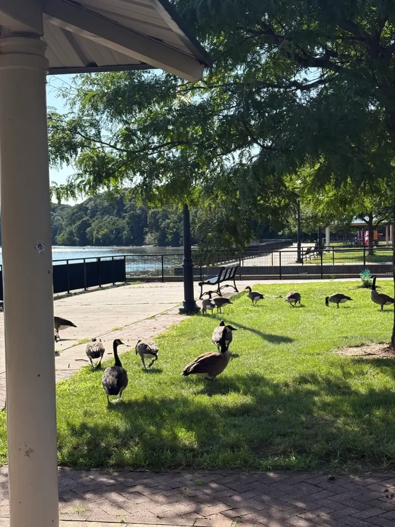
Photo by Ashley Fritz.
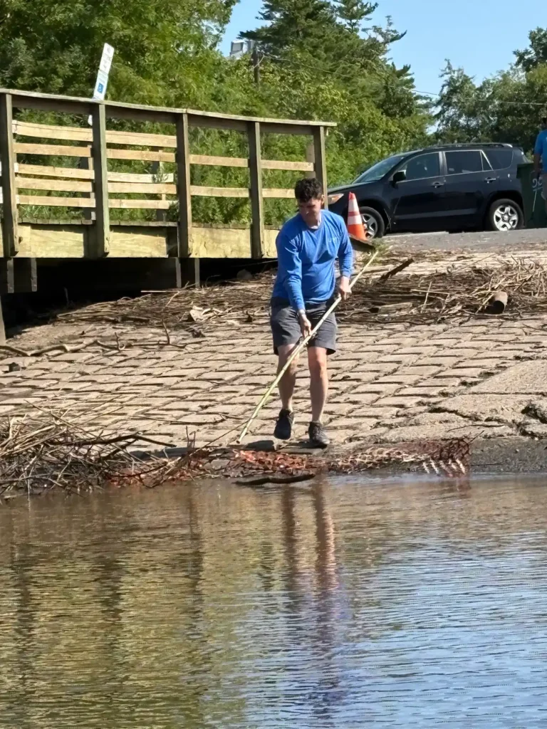
John taking out plastic from the water at Edison Boat Launch. Photo by Ashley Fritz.
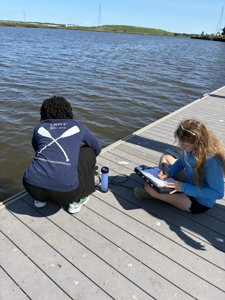
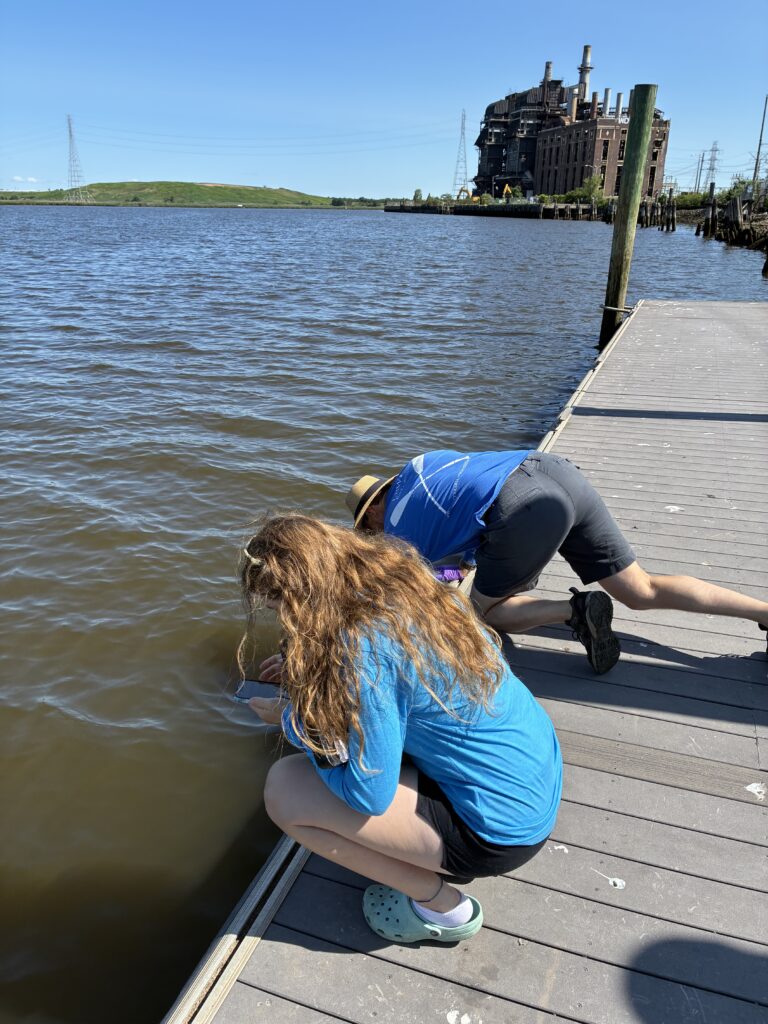
Ashley, John and Endurance on sampling and sonde measurement duties. Photos by Paula Rubio.
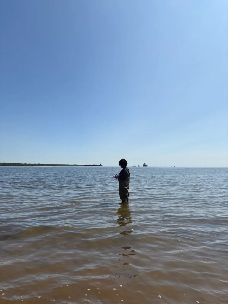
Endurance on sampling duty at South Amboy. Photo by John Meyer.
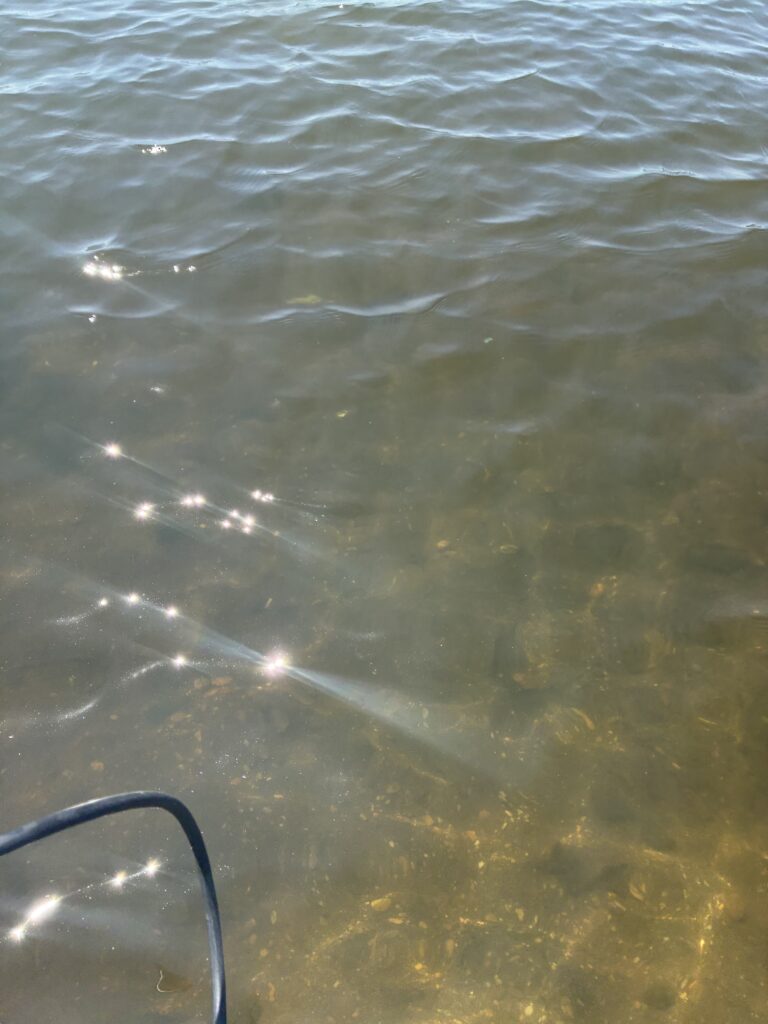
A massive algal bloom at Perth Amboy. The water was greenish and murky unlike the clear color it has had for the past couple of weeks. Photo by Endurance Laryea.
Photo by Endurance Laryea.
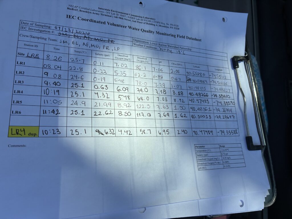
Thankfully, oxygen levels rose back to normal, and we did not experience the fish dead we feared!
Enjoy your weekend and stay safe and cool!
By Endurance Laryea, LRWP Summer Research Intern and J.M. Meyer.
The second pathogen monitoring session of the month took place on Thursday, July 9th. Each week during the summer, from May to October, the Lower Raritan Watershed Partnership and Rutgers Cooperative Extension of Middlesex County run a volunteer-based monitoring program along the Raritan River. We collect water quality samples at six non-bathing public access beach sites, provide our samples to the Interstate Environmental Commission for analysis in their laboratory, and report the results to the public. Our mission is to share this data with the community and partners to ensure the safe use of the Raritan River for all.
Our lab results for water quality samples taken on Thursday, July 9th, 2026, show Enterococcus bacteria levels exceeding the EPA federal water quality standard of 104 cfu/100mL at two of our monitoring sites this week. The problem site is indicated by the red frown on the map and chart: Riverside Park (Piscataway) and Rutgers Boathouse (New Brunswick). Green smiles on the chart and map indicate the sites with bacteria levels safe for recreation and include the following: Edison Boat Basin (Edison), Ken Buchanan Waterfront Park (Sayreville) 2nd Street Park (Perth Amboy).
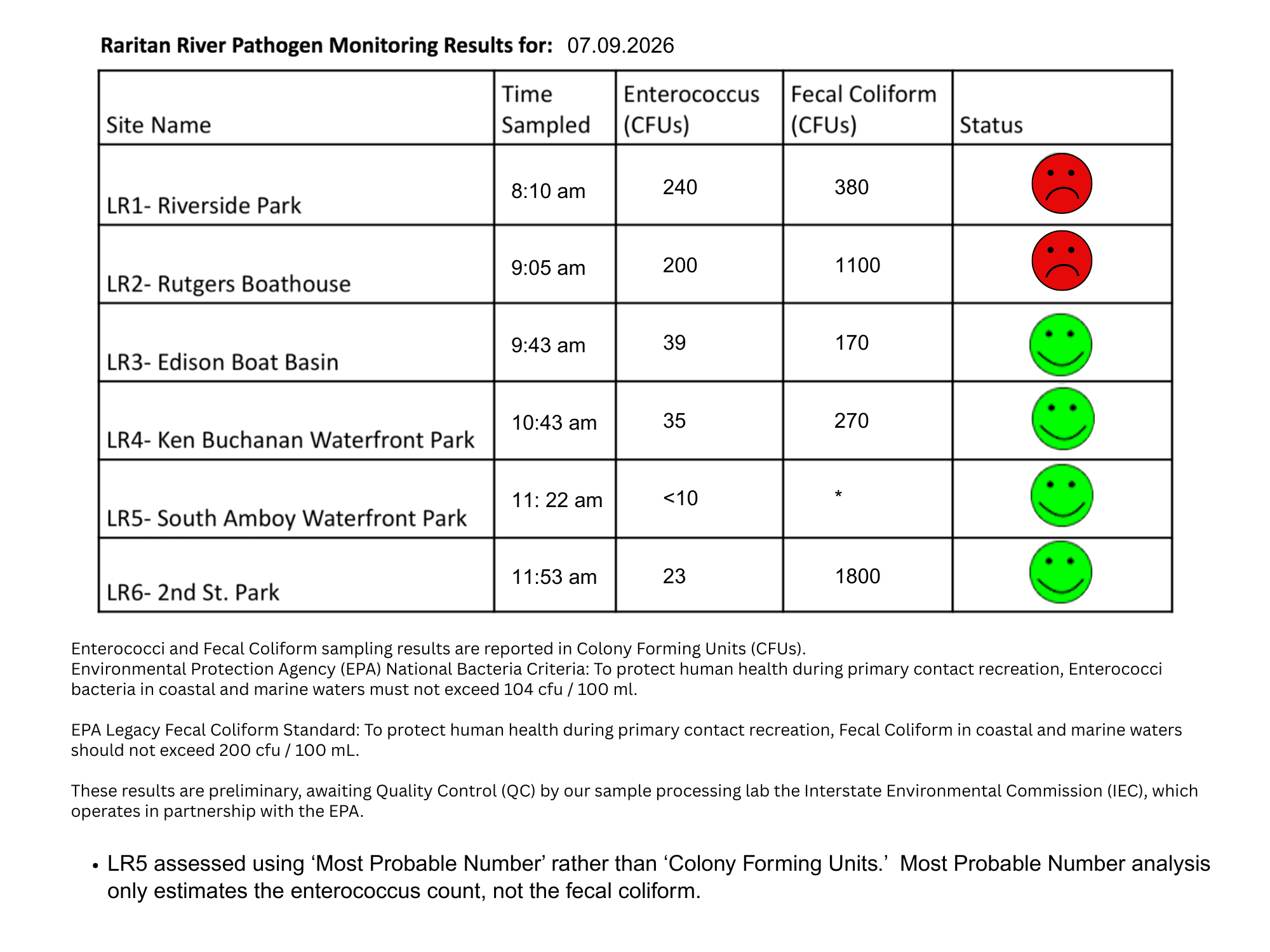
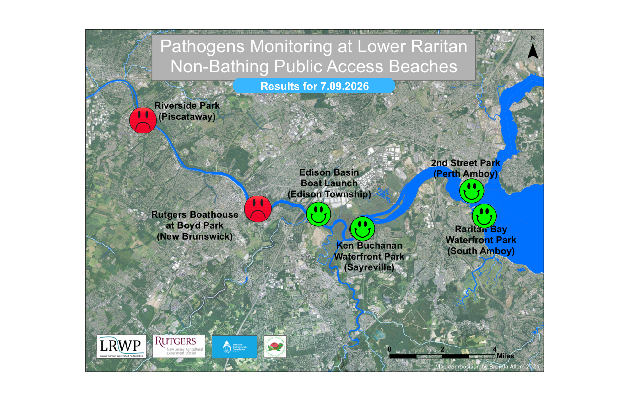
Pathogens/Enterococci levels are used as indicators of the possible presence of disease-causing bacteria in recreational waters. Such pathogens may pose health risks to people coming in primary contact with the water (touching) through recreational activities like fishing, kayaking or swimming in a water body. Possible sources of bacteria include Combined Sewer Overflows (CSOs), improperly functioning wastewater treatment plants, stormwater runoff, leaking septic systems, animal carcasses, pet waste, wildlife waste, and runoff from manure storage areas.
In order to better understand why Riverside Park, Piscataway has been our worst performing site over the past six years, we have started sampling further upstream. On July 7th, we sampled the DeMott Lane D&R Canal site a second time since we started pathogens monitoring this season. The lab analysis produced 47 enterococci colony per 100mL passing the EPA federal water quality standard of 104 cfu/100mL. It also passed the test during our first month of monitoring.
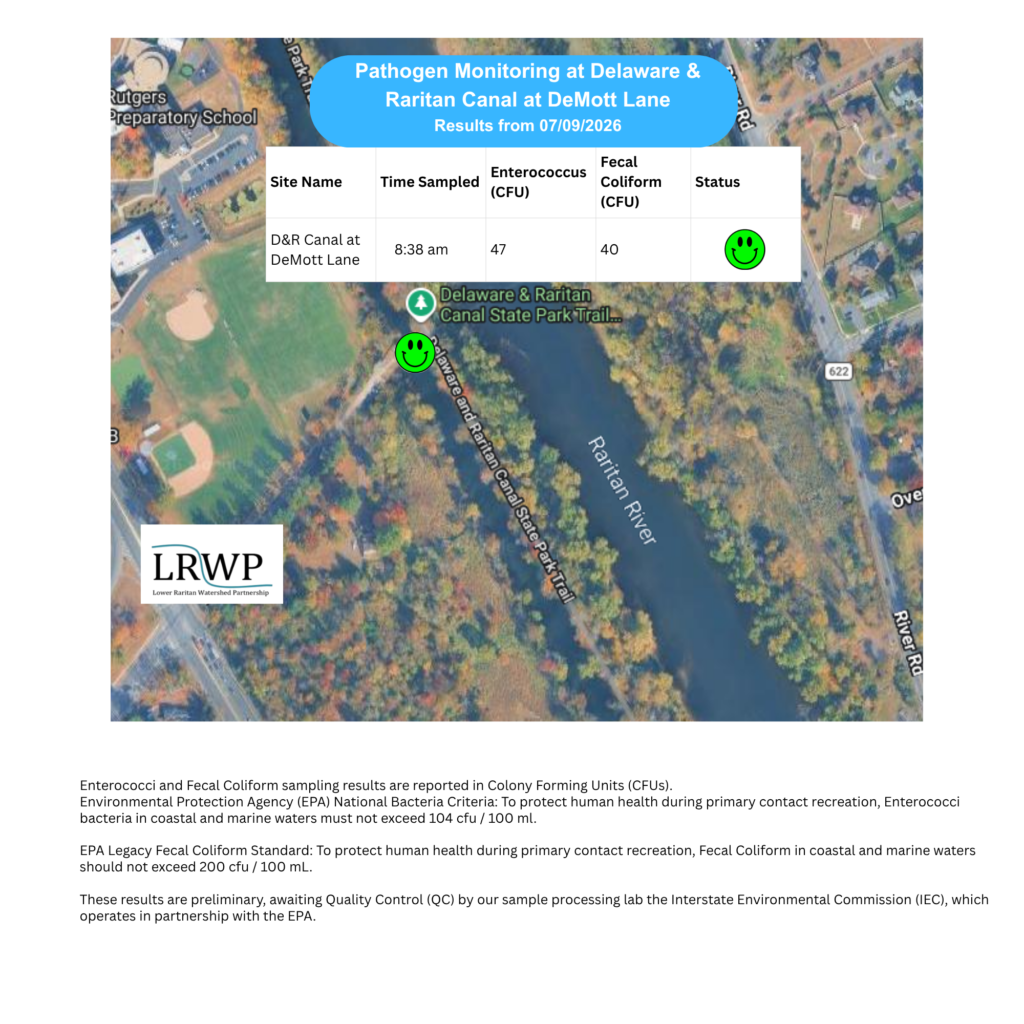
Our goal in reporting these results is to give residents a better understanding of the potential health risks related to primary contact during water-based recreation. If you are planning on recreating on the Raritan this weekend, make sure to stay safe and wash up after any activities!